Restaurant nearby Shop n Save Supermarker
Ghana
Restaurant nearby Shop n Save Supermarker
Shop n Save Supermarker
Ghana Ghana
contacts phone
:
+233
Latitude:
5.6887564
, Longitude:
-0.1712035
read more
nearest Restaurant
27 m
MDM (Meals, Desserts & More)
N4, Madina
Restaurant
read more
170 m
Prudent Gardens
Ghana
Restaurant
read more
288 m
Mama T Fast Food
Ghana
Restaurant
read more
292 m
Awonye Chop Bar
Ghana
Restaurant
read more
320 m
Zainabs Swallow
Madina
Restaurant
read more
540 m
Whitespoon Restaurant
Madina
Restaurant
read more
558 m
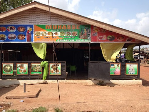
MUKASSE RESTURANT/FOOD JOINT
Redco Flats, Legon East Road, Madina
Restaurant
read more
771 m
African Kitchen
Madina
Restaurant
read more
838 m
Powerland Fisheries
Ecowas Road, Madina
Restaurant
read more
838 m
Medina Ritz Hotel
Madina
Restaurant
read more
846 m
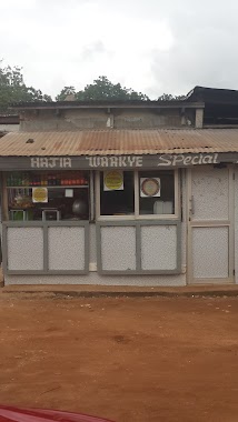
Hajia Waakye Special
Madina
Restaurant
read more
873 m
Kenkey House
Madina
Restaurant
read more
959 m
NaCl SISI BISTRO
Ghana
Restaurant
read more
1.013 km
Peterpan - Madina
Madina Zongo, Madina
Restaurant
read more
1.019 km
Peterpan - Madina
Legon East Road
Restaurant
read more
1.132 km
Area Corner Pub
Madina
Restaurant
read more
1.241 km
Asante Home Touch
Madina
Restaurant
read more
1.285 km
Harvest Restaurant
Located within Jempat Hotel
Restaurant
read more
1.592 km
Mama Lit Catering Services
Boundary Road, Madina
Restaurant
read more
1.604 km
Johnny King
Ghana
Restaurant
read more
1.693 km
All Bar One Restaurant
North Legon
Restaurant
read more
1.9 km
KFC Adenta Shell Filling Station
Lame Dwaahe Street, Adenta Municipality
Restaurant
read more
1.978 km
Sunkwa Fast Food
Ghana
Restaurant
read more
2.031 km
Ave Maria Restaurant
Madina
Restaurant
read more
2.289 km
Mama gee food
Norwood City
Restaurant
read more
📑
all categories
Accounting
Administrative area level 1
Administrative area level 2
Airport
Amusement park
Aquarium
Art gallery
Atm
Bakery
Bank
Bar
Beauty salon
Bicycle store
Book store
Bus station
Cafe
Campground
Car dealer
Car rental
Car repair
Car wash
Casino
Cemetery
Church
City hall
Clothing store
Colloquial area
Convenience store
Courthouse
Dentist
Department store
Doctor
Electrician
Electronics store
Embassy
Finance
Fire station
Florist
Food
Funeral home
Furniture store
Gas station
General contractor
Grocery or supermarket
Gym
Hair care
Hardware store
Health
Hindu Temple
Home goods store
Hospital
Insurance agency
Intersection
Jewelry store
Laundry
Lawyer
Library
Liquor store
Local government office
Locality
Locksmith
Lodging
Meal delivery
Meal takeaway
Mosque
Movie rental
Movie theater
Moving company
Museum
Natural feature
Neighborhood
Night club
Painter
Park
Parking
Pet store
Pharmacy
Physiotherapist
Place of worship
Plumber
Point of interest
Police
Post office
Premise
Real estate agency
Restaurant
Roofing contractor
Route
Rv park, camping
School
Shoe store
Shopping mall
Spa
Stadium
Storage
Store
Subpremise
Subway station
Supermarket
Synagogue
Taxi stand
Train station
Transit station
Travel agency
University
Veterinary care
Zoo
sublocality level 1
↑