Bank nearby Fidelity Bank - Dansoman Annex
Ghana
Bank nearby Fidelity Bank - Dansoman Annex
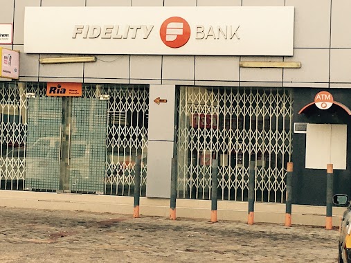
Fidelity Bank - Dansoman Annex
Dansoman, Accra, Ghana
contacts phone
:
+233 20 958 3076
website:
www.fidelitybank.com.gh
Latitude:
5.5496501
, Longitude:
-0.2643666
larger map & directions
read more
nearest Bank
51 m
Guaranty Trust Bank (Ghana) Limited - Dansoman Branch
Accra
Bank
read more
59 m
GCB Bank - Dansoman Branch
Dansoman High Street, Accra
Bank
read more
67 m
Fidelity Bank - Dansoman Branch
Accra
Bank
read more
87 m
HFC Bank Dansoman Branch
20th Road, Accra
Bank
read more
104 m
Ecobank Dansoman branch
20th Road, Accra
Bank
read more
156 m
Bank Of Africa - Dansoman Branch
Accra
Bank
read more
165 m
GN Bank, Dansoman
Dansoman High Street, Accra
Bank
read more
692 m
Goldman Capital
Dansoman High Street, Accra
Bank
read more
692 m
ADB - DANSOMAN
Dansoman High Street, Near Dansoman Round-About, Accra
Bank
read more
821 m
Fbn Bank
Dansoman High Street, Accra
Bank
read more
832 m
FNB Dansoman
Accra
Bank
read more
849 m
Barclays Bank - Dansoman Branch
65 3rd Road, Accra
Bank
read more
856 m
Standard Chartered - Dansoman Branch
Dansoman Community Market, Dansoman, Accra
Bank
read more
867 m
Standard Chartered Bank Dansoman Branch
21st Close, Accra
Bank
read more
904 m
CalBank - Dansoman Branch
Accra
Bank
read more
928 m
ADB - Dansoman Branch
Accra
Bank
read more
984 m
The BEIGE Bank Dansoman Runabout Branch
88513rd Road, Accra
Bank
read more
1.068 km
National Investment Bank (NIB) - Dansoman Branch
Wheat Street, Accra
Bank
read more
1.205 km
Stanbic Bank - Dansoman Branch
Accra
Bank
read more
1.49 km
Barclays
Dansoman High Street, Accra
Bank
read more
1.492 km
uniBank - Dansoman Branch
Mpoase, Accra
Bank
read more
1.666 km
Ota Russia Branch Forex Bureau
Oblogo Road, Accra
Bank
read more
1.7 km
Leverage Micro Finance Ltd
Poultry Farm Avenue, Accra
Bank
read more
1.789 km
The BEIGE Bank Paa Willy Branch
Oblogo Road, Accra
Bank
read more
1.938 km
PBL Methodist University
Dansoman Road, Accra
Bank
read more
📑
all categories
Accounting
Administrative area level 1
Administrative area level 2
Airport
Amusement park
Aquarium
Art gallery
Atm
Bakery
Bank
Bar
Beauty salon
Bicycle store
Book store
Bus station
Cafe
Campground
Car dealer
Car rental
Car repair
Car wash
Casino
Cemetery
Church
City hall
Clothing store
Colloquial area
Convenience store
Courthouse
Dentist
Department store
Doctor
Electrician
Electronics store
Embassy
Finance
Fire station
Florist
Food
Funeral home
Furniture store
Gas station
General contractor
Grocery or supermarket
Gym
Hair care
Hardware store
Health
Hindu Temple
Home goods store
Hospital
Insurance agency
Intersection
Jewelry store
Laundry
Lawyer
Library
Liquor store
Local government office
Locality
Locksmith
Lodging
Meal delivery
Meal takeaway
Mosque
Movie rental
Movie theater
Moving company
Museum
Natural feature
Neighborhood
Night club
Painter
Park
Parking
Pet store
Pharmacy
Physiotherapist
Place of worship
Plumber
Point of interest
Police
Post office
Premise
Real estate agency
Restaurant
Roofing contractor
Route
Rv park, camping
School
Shoe store
Shopping mall
Spa
Stadium
Storage
Store
Subpremise
Subway station
Supermarket
Synagogue
Taxi stand
Train station
Transit station
Travel agency
University
Veterinary care
Zoo
sublocality level 1
↑