Bar nearby Havana Cigar Lounge
Ghana
Bar nearby Havana Cigar Lounge
Havana Cigar Lounge
Airport City, Accra, Ghana
contacts phone
:
+233 26 875 6639
Latitude:
5.6033594
, Longitude:
-0.1759683
larger map & directions
read more
nearest Bar
295 m
ibis Styles Accra Airport City Hotel
Plot 24 area Airport City Enclave, Accra
Bar
read more
308 m
ibis Styles Accra Airport City Hotel
area Airport City Enclave, Plot 24 Liberation Road, Accra
Bar
read more
322 m
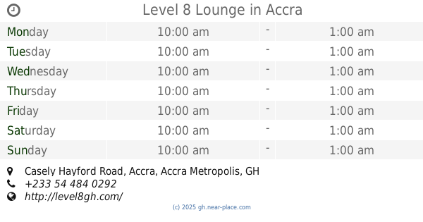
Level 8 Lounge
One, South liberation Link, Accra
Bar
read more
322 m
Level 8 Lounge
One, Casely Hayford Road, Accra
Bar
read more
1.134 km
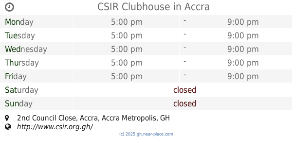
CSIR Clubhouse
2nd Council Close, Accra
Bar
read more
1.239 km
Phil's Pub
Sir. Arku Korsah Road, Accra
Bar
read more
1.272 km
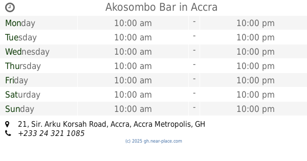
Akosombo Bar
21 Sir. Arku Korsah Road, Accra
Bar
read more
1.621 km
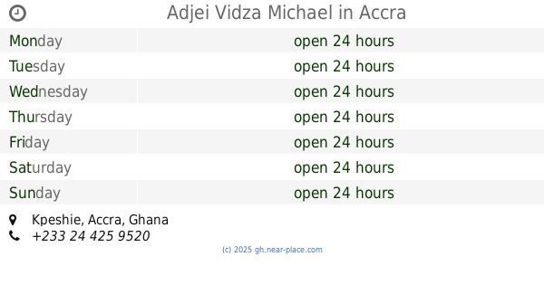
Adjei Vidza Michael
Accra
Bar
read more
1.76 km
Placito Bar
Airport City, Accra
Bar
read more
1.865 km
Ato's Place
16 North Airport Road, Accra
Bar
read more
1.881 km
Air Force Officers' Mess
2nd GIffard Lane, Accra
Bar
read more
1.881 km
Queens town
Hospital Rd, Ayawaso, Khajuwala
Bar
read more
1.887 km
AM&PM
Accra
Bar
read more
2.173 km
Abotare Spot
air force market
Bar
read more
2.457 km
AkosomboBar Dzorwulu-Accra
Osu Badu Street, Avenue
Bar
read more
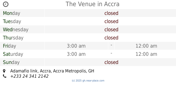
2.552 km
The Venue
Adamafio link, Accra
Bar
read more
2.684 km
Captain
Second Shippi Close, Accra
Bar
read more
2.752 km
TOP BASE PUB
Maamobi, Accra
Bar
read more
2.864 km
Cencor Venue
Adamafio link, Accra
Bar
read more
3.081 km
Adesko hotel
adesko street
Bar
read more
3.128 km
Makez city
Alhaji Road, Accra
Bar
read more
3.176 km
Sweeties
Mama Adjele Road, Accra
Bar
read more
3.184 km
Green Grass Pub
Accra
Bar
read more
3.465 km
Joe's Bar In Oak Plaza Hotel
Accra
Bar
read more
3.492 km
FLOW
1st Csir Close, Accra
Bar
read more
📑
all categories
Accounting
Administrative area level 1
Administrative area level 2
Airport
Amusement park
Aquarium
Art gallery
Atm
Bakery
Bank
Bar
Beauty salon
Bicycle store
Book store
Bus station
Cafe
Campground
Car dealer
Car rental
Car repair
Car wash
Casino
Cemetery
Church
City hall
Clothing store
Colloquial area
Convenience store
Courthouse
Dentist
Department store
Doctor
Electrician
Electronics store
Embassy
Finance
Fire station
Florist
Food
Funeral home
Furniture store
Gas station
General contractor
Grocery or supermarket
Gym
Hair care
Hardware store
Health
Hindu Temple
Home goods store
Hospital
Insurance agency
Intersection
Jewelry store
Laundry
Lawyer
Library
Liquor store
Local government office
Locality
Locksmith
Lodging
Meal delivery
Meal takeaway
Mosque
Movie rental
Movie theater
Moving company
Museum
Natural feature
Neighborhood
Night club
Painter
Park
Parking
Pet store
Pharmacy
Physiotherapist
Place of worship
Plumber
Point of interest
Police
Post office
Premise
Real estate agency
Restaurant
Roofing contractor
Route
Rv park, camping
School
Shoe store
Shopping mall
Spa
Stadium
Storage
Store
Subpremise
Subway station
Supermarket
Synagogue
Taxi stand
Train station
Transit station
Travel agency
University
Veterinary care
Zoo
sublocality level 1
↑