Cafe nearby Second Cup
Ghana
Cafe nearby Second Cup
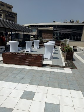
Second Cup
Spintex Road, Accra Ghana
contacts phone
:
+233
Latitude:
5.6254666
, Longitude:
-0.1536926
read more
nearest Cafe
1.218 km
vida e caffè
Boundary Road, Accra
Cafe
read more
1.339 km
BZDARKO
Unnamed Road, Accra
Cafe
read more
1.396 km
Pick n Snack
10 Kigali Avenue, Accra
Cafe
read more
1.77 km
D Cafe
Jungle Road, Accra
Cafe
read more
1.851 km
Pat's Special Koko
Bill Link, Accra
Cafe
read more
1.979 km
Oheneba Yaw Otchere
Accra - Tema Motorway, Madina
Cafe
read more
1.989 km
Cake Boss
Accra
Cafe
read more
2.033 km
Nourish Lab Smoothy's
Accra
Cafe
read more
2.073 km
Bobafro Bubble Tea Shop
East Legon, Accra
Cafe
read more
2.146 km
Mi casa Caffe
La-Bawaleshi Road, Accra
Cafe
read more
2.197 km
Second Cup
Accra
Cafe
read more
2.201 km
Enda
Accra Mall Food Court, Accra
Cafe
read more
2.25 km
SOCCABET
Lagos Avenue, Accra
Cafe
read more
2.653 km
ICED
38, Adjiringanor Road, Accra
Cafe
read more
2.759 km
vida e caffe
Dzorwulu, Accra
Cafe
read more
2.901 km
DyazBakeshop
Unnamed Road, Accra
Cafe
read more
3.265 km
Madam Rahi VIP Koko Joint
Airport Residential Area, Accra
Cafe
read more
3.304 km
5 Star Advertizing and Model Agency
Airport Road, Accra
Cafe
read more
3.337 km
vida e caffe - Airport Shell
Shell, Airport, Accra
Cafe
read more
3.486 km
Scoops n Cones
Adjiringanor
Cafe
read more
3.752 km
Café Kwae
Ground Floor, One Airport Square, Airport City, Accra
Cafe
read more
3.785 km
Vida e Caffè - One Airport Square
Airport City, Accra
Cafe
read more
3.813 km
Vida e Caffe
1 North Airport Road, Accra
Cafe
read more
3.919 km
Mercedes Cafe - Silver Star Tower
Accra
Cafe
read more
4.405 km
Publix Grocery
Airport Residential Area, Accra
Cafe
read more
📑
all categories
Accounting
Administrative area level 1
Administrative area level 2
Airport
Amusement park
Aquarium
Art gallery
Atm
Bakery
Bank
Bar
Beauty salon
Bicycle store
Book store
Bus station
Cafe
Campground
Car dealer
Car rental
Car repair
Car wash
Casino
Cemetery
Church
City hall
Clothing store
Colloquial area
Convenience store
Courthouse
Dentist
Department store
Doctor
Electrician
Electronics store
Embassy
Finance
Fire station
Florist
Food
Funeral home
Furniture store
Gas station
General contractor
Grocery or supermarket
Gym
Hair care
Hardware store
Health
Hindu Temple
Home goods store
Hospital
Insurance agency
Intersection
Jewelry store
Laundry
Lawyer
Library
Liquor store
Local government office
Locality
Locksmith
Lodging
Meal delivery
Meal takeaway
Mosque
Movie rental
Movie theater
Moving company
Museum
Natural feature
Neighborhood
Night club
Painter
Park
Parking
Pet store
Pharmacy
Physiotherapist
Place of worship
Plumber
Point of interest
Police
Post office
Premise
Real estate agency
Restaurant
Roofing contractor
Route
Rv park, camping
School
Shoe store
Shopping mall
Spa
Stadium
Storage
Store
Subpremise
Subway station
Supermarket
Synagogue
Taxi stand
Train station
Transit station
Travel agency
University
Veterinary care
Zoo
sublocality level 1
↑