Church nearby Kwesitenten Church
Ghana
Church nearby Kwesitenten Church
Kwesitenten Church
Juaso - Nsawam Road, Kwesitenten Ghana
contacts phone
:
+233
Latitude:
5.8102192
, Longitude:
-0.4219115
read more
nearest Church
1.122 km
Anoff Presbyterian Church
Juaso - Nsawam Road, Anoff
Church
read more
2.327 km
Onoka Church
Onoka
Church
read more
2.331 km
Deeper Life Bible Church
Onoka
Church
read more
2.436 km
The Methodist Church Darmang Society
Ahwerase
Church
read more
2.496 km
Church Of Pentecost
Damang
Church
read more
2.519 km
New Apostolic Church
Ahwerase
Church
read more
2.522 km
Apostolic Church
Ahwerase
Church
read more
2.527 km
Damang Presbyterian Church
Damang
Church
read more
2.535 km
Kingdom Hall Of Jehovah's Witnesses
Ahwerase
Church
read more
3.97 km
The good Shepherd prayer ministry
Ghana
Church
read more
7.853 km
St. John's Catholic Church
Nsawam
Church
read more
8.081 km
Church Of Pentecost (English Assembly)
Nsawam
Church
read more
9.387 km
Unbreakable City (DFPM)
Church
read more
15.087 km
Kingdom Hall of Jehovah’s Witnesses
Nw 35,, Nsawam
Church
read more
15.789 km
Macedonia Prayer Camp
Ghana
Church
read more
16.371 km
Christ's Rescue Ministry
House number WP 1090 Achiaman, Achiaman
Church
read more
17.14 km
Faithway Baptist Church
Ghana
Church
read more
17.556 km
The Church Of Pentecost-Mckeown Temple
Amasaman
Church
read more
17.978 km
Church of Christ, Amasaman
Amasaman
Church
read more
18.368 km
Afiaman Presby Church
Church
read more
18.593 km
Yao Paul Evangelism Centre
Ghana
Church
read more
18.62 km
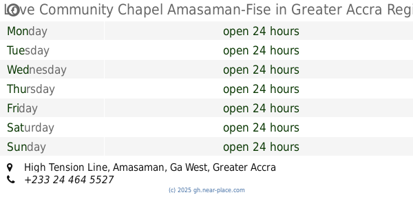
Love Community Chapel Amasaman-Fise
High Tension Line, Amasaman
Church
read more
19.534 km
Amanfrom SDA
Church
read more
19.546 km
The Church Of Pentecost Pokuase North
Church
read more
20.068 km
Winners Chapel International, Pokuase
Church
read more
📑
all categories
Accounting
Administrative area level 1
Administrative area level 2
Airport
Amusement park
Aquarium
Art gallery
Atm
Bakery
Bank
Bar
Beauty salon
Bicycle store
Book store
Bus station
Cafe
Campground
Car dealer
Car rental
Car repair
Car wash
Casino
Cemetery
Church
City hall
Clothing store
Colloquial area
Convenience store
Courthouse
Dentist
Department store
Doctor
Electrician
Electronics store
Embassy
Finance
Fire station
Florist
Food
Funeral home
Furniture store
Gas station
General contractor
Grocery or supermarket
Gym
Hair care
Hardware store
Health
Hindu Temple
Home goods store
Hospital
Insurance agency
Intersection
Jewelry store
Laundry
Lawyer
Library
Liquor store
Local government office
Locality
Locksmith
Lodging
Meal delivery
Meal takeaway
Mosque
Movie rental
Movie theater
Moving company
Museum
Natural feature
Neighborhood
Night club
Painter
Park
Parking
Pet store
Pharmacy
Physiotherapist
Place of worship
Plumber
Point of interest
Police
Post office
Premise
Real estate agency
Restaurant
Roofing contractor
Route
Rv park, camping
School
Shoe store
Shopping mall
Spa
Stadium
Storage
Store
Subpremise
Subway station
Supermarket
Synagogue
Taxi stand
Train station
Transit station
Travel agency
University
Veterinary care
Zoo
sublocality level 1
↑