Church nearby Taifa North SDA Church
Ghana
Church nearby Taifa North SDA Church
Taifa North SDA Church
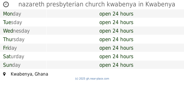
Kwabenya Ghana
contacts phone
:
+233
Latitude:
5.6780215
, Longitude:
-0.2541175
read more
nearest Church
285 m
Presbyterian Church of Ghana, Salem Congregation
Kwabenya
Church
read more
512 m
Bethel Prayer And Bible Teaching Center
Kwabenya
Church
read more
651 m
CACI, Taifa North
Taifa - Burkina Faso Road, Taifa
Church
read more
659 m
METHODIST CHURCH,TRINITY SOCIETY. TAIFA
Kwabenya
Church
read more
667 m
Church Of Christ
Kwabenya
Church
read more
712 m
St John Anglican Church Kwabenya
kwabenya ajimakata mountain
Church
read more
712 m
ICGC Acts Temple - New Building
Pokuase Road, Kwabenya
Church
read more
729 m
St. Dominic Catholic Church
Kwabenya
Church
read more
847 m
Kwabenya SDA Church
Kwabenya
Church
read more
890 m
New Apostolic Church
Taifa - Burkina Faso Road
Church
read more
895 m
Empowerment Assemblies of God, Taifa
15 Taifa - Burkina Faso Road, Taifa
Church
read more
1.022 km
Jesus Withnesses Ministry
Church
read more
1.148 km
Grace Methodist Society
Kwabenya
Church
read more
1.235 km
Christ Embassy Taifa
Taifa Bakyease Burkina, Taifa
Church
read more
1.441 km
TMH
Saint Johns - Dome - Kwabenya - Brekusu Road, Kwabenya
Church
read more
1.483 km
Mega Blessing Chaple Int
Kwabenya
Church
read more
1.61 km
nazareth presbyterian church kwabenya
Kwabenya
Church
read more
1.634 km
Calvary Deliverance Ministry Int.
Kwabenya-Pokuase Road, Kwabenya
Church
read more
1.904 km
Seventh - Day Adventist Church, Taifa
Taifa
Church
read more
1.94 km
Apostolic Church
ACP
Church
read more
1.979 km
Prayer Embassy International Church
Taifa
Church
read more
2.049 km
CPIC
Taifa
Church
read more
2.183 km
Kingdom Hall of Jehovahs Witnesses, Ashongman Estate
Ghana
Church
read more
2.211 km
Empire Of Prayer Ministry
Taifa
Church
read more
2.225 km
Israel King Of Jews Church
Taifa
Church
read more
📑
all categories
Accounting
Administrative area level 1
Administrative area level 2
Airport
Amusement park
Aquarium
Art gallery
Atm
Bakery
Bank
Bar
Beauty salon
Bicycle store
Book store
Bus station
Cafe
Campground
Car dealer
Car rental
Car repair
Car wash
Casino
Cemetery
Church
City hall
Clothing store
Colloquial area
Convenience store
Courthouse
Dentist
Department store
Doctor
Electrician
Electronics store
Embassy
Finance
Fire station
Florist
Food
Funeral home
Furniture store
Gas station
General contractor
Grocery or supermarket
Gym
Hair care
Hardware store
Health
Hindu Temple
Home goods store
Hospital
Insurance agency
Intersection
Jewelry store
Laundry
Lawyer
Library
Liquor store
Local government office
Locality
Locksmith
Lodging
Meal delivery
Meal takeaway
Mosque
Movie rental
Movie theater
Moving company
Museum
Natural feature
Neighborhood
Night club
Painter
Park
Parking
Pet store
Pharmacy
Physiotherapist
Place of worship
Plumber
Point of interest
Police
Post office
Premise
Real estate agency
Restaurant
Roofing contractor
Route
Rv park, camping
School
Shoe store
Shopping mall
Spa
Stadium
Storage
Store
Subpremise
Subway station
Supermarket
Synagogue
Taxi stand
Train station
Transit station
Travel agency
University
Veterinary care
Zoo
sublocality level 1
↑