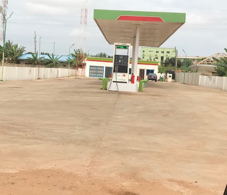
Gas station nearby Amanfro Total
Ghana
Gas station nearby Amanfro Total
Amanfro Total
Amrahia, Ghana
contacts phone
:
+233
Latitude:
5.7530933
, Longitude:
-0.1479775
larger map & directions
read more
nearest Gas station
6 m
DODOWA ROAD TOTAL SERVICE STATION
5.75306,-0.14807, Afienya- Dodowa Rd, Dodowa
Gas station
read more
6 m
TOTAL Tankstelle
5.75306,-0.14807, Afienya- Dodowa Rd, Dodowa
Gas station
read more
6 m
Total
5.75306,-0.14807, Afienya- Dodowa Rd, Dodowa
Gas station
read more
226 m
Amanfro Shell
Amrahia
Gas station
read more
960 m
PUMA Filling Station
Amrahia
Gas station
read more
1.099 km
Nasona
R40
Gas station
read more
1.102 km
INFIN Filling Station
Ghana
Gas station
read more
1.438 km
Goil Filling Station
Ashiyie
Gas station
read more
1.778 km
Superior Oil
Ashiyie
Gas station
read more
2.881 km
Puma Oyarifa
Oyarifa
Gas station
read more
3.182 km
Engen Filling station Frafraha
Adenta Municipality
Gas station
read more
3.356 km
Naagamni Oil
Ghana
Gas station
read more
3.363 km
Naagamni Filling Station
Amrahia
Gas station
read more
3.392 km
Compass Oleum
Adenta Municipality
Gas station
read more
3.589 km
PetroBay Filling Station
Ga East
Gas station
read more
3.846 km
Engen Petrol Station
Adenta Municipality
Gas station
read more
3.847 km
Puma Filling Station
Oyarifa Road
Gas station
read more
3.994 km
Puma
N4, Adenta Municipality
Gas station
read more
4.094 km
Musdac Gas
Ghana
Gas station
read more
4.188 km
Adenta Aburi Shell Filling Station
Adenta Municipality
Gas station
read more
4.212 km
GOIL Filling Stations
Ghana
Gas station
read more
4.749 km
Lucky Gas
Adenta Municipality
Gas station
read more
4.945 km
Shell Filling Station - Pantang
Adenta Municipality
Gas station
read more
5.053 km
Valley View Rd. Total Service Station
Valley View Rd, Oyibi, Accra
Gas station
read more
5.28 km
Compass Oleum Filling Station, Oyibi
Adenta- Road, Dodowa
Gas station
read more
📑
all categories
Accounting
Administrative area level 1
Administrative area level 2
Airport
Amusement park
Aquarium
Art gallery
Atm
Bakery
Bank
Bar
Beauty salon
Bicycle store
Book store
Bus station
Cafe
Campground
Car dealer
Car rental
Car repair
Car wash
Casino
Cemetery
Church
City hall
Clothing store
Colloquial area
Convenience store
Courthouse
Dentist
Department store
Doctor
Electrician
Electronics store
Embassy
Finance
Fire station
Florist
Food
Funeral home
Furniture store
Gas station
General contractor
Grocery or supermarket
Gym
Hair care
Hardware store
Health
Hindu Temple
Home goods store
Hospital
Insurance agency
Intersection
Jewelry store
Laundry
Lawyer
Library
Liquor store
Local government office
Locality
Locksmith
Lodging
Meal delivery
Meal takeaway
Mosque
Movie rental
Movie theater
Moving company
Museum
Natural feature
Neighborhood
Night club
Painter
Park
Parking
Pet store
Pharmacy
Physiotherapist
Place of worship
Plumber
Point of interest
Police
Post office
Premise
Real estate agency
Restaurant
Roofing contractor
Route
Rv park, camping
School
Shoe store
Shopping mall
Spa
Stadium
Storage
Store
Subpremise
Subway station
Supermarket
Synagogue
Taxi stand
Train station
Transit station
Travel agency
University
Veterinary care
Zoo
sublocality level 1
↑