Lodging nearby Canaan House
Ghana
Lodging nearby Canaan House
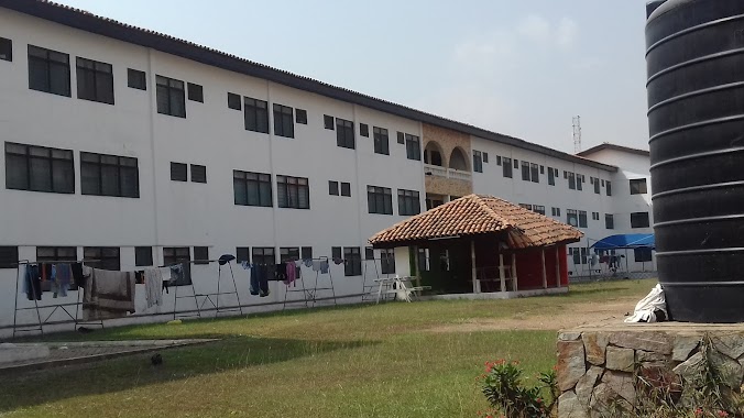
Canaan House
J/ E8, Ghenya Ghana
contacts phone
:
+233
Latitude:
5.6485504
, Longitude:
-0.1882148
read more
nearest Lodging
70 m
Legon Hall Annex A
Accra
Lodging
read more
152 m
Legon Hall Annex C (GRADUATE HOSTEL)
Barimah Road, Accra
Lodging
read more
278 m
Mensah Sarbah Hall
Accra
Lodging
read more
300 m
Akuafo Hall Annex D
Agyei Barimah Crescent, Accra
Lodging
read more
323 m
VOLTA HALL
J.K.M. Hodasi Road, Accra
Lodging
read more
336 m
Akuafo Hall Annex C
University Of Ghana, Accra
Lodging
read more
337 m
Akuafo Hall Annex B
Agyei Barimah Crescent, Accra
Lodging
read more
435 m
University Guest Centre
Leslie MarCarthy Link, Accra
Lodging
read more
442 m
Volta Hall, Annex
Accra
Lodging
read more
443 m
Mensah Sarbah Annex D
Mensah Sarbah Crescent, Accra
Lodging
read more
447 m
Porters Lodge
Accra
Lodging
read more
472 m
Mensah Sarbah Annex C
Noguchie Link, Accra
Lodging
read more
476 m
Commonwealth C Block
commonwealth hall
Lodging
read more
504 m
Valco Trust Hostel 2
Noguchie Link, Accra
Lodging
read more
513 m
Commonwealth Hall
Accra
Lodging
read more
533 m
Commonwealth D Block
commonwealth hall
Lodging
read more
558 m
Vikings Hostel
Noguchie Link, Accra
Lodging
read more
577 m
Senior Common Room
commonwealth hall
Lodging
read more
813 m
International Student's Hostel 2 (ISH 2)
Accra
Lodging
read more
872 m
17th January Hotel
Kwame Asante Avenue, West Legon, Accra
Lodging
read more
914 m
Justa Hotel
New Road, Accra
Lodging
read more
938 m
Jubilee Hall
Accra
Lodging
read more
1.011 km
International Student Hostel 1(ISH1)
Jubilee Drive, Accra
Lodging
read more
1.195 km
African Union (Pentagon) Hall, Block A
Annie Jiagge Road, Accra
Lodging
read more
1.219 km
African Union Hall (Pentagon Hostel), Nairobi Court
Annie Jiagge Road, Accra
Lodging
read more
📑
all categories
Accounting
Administrative area level 1
Administrative area level 2
Airport
Amusement park
Aquarium
Art gallery
Atm
Bakery
Bank
Bar
Beauty salon
Bicycle store
Book store
Bus station
Cafe
Campground
Car dealer
Car rental
Car repair
Car wash
Casino
Cemetery
Church
City hall
Clothing store
Colloquial area
Convenience store
Courthouse
Dentist
Department store
Doctor
Electrician
Electronics store
Embassy
Finance
Fire station
Florist
Food
Funeral home
Furniture store
Gas station
General contractor
Grocery or supermarket
Gym
Hair care
Hardware store
Health
Hindu Temple
Home goods store
Hospital
Insurance agency
Intersection
Jewelry store
Laundry
Lawyer
Library
Liquor store
Local government office
Locality
Locksmith
Lodging
Meal delivery
Meal takeaway
Mosque
Movie rental
Movie theater
Moving company
Museum
Natural feature
Neighborhood
Night club
Painter
Park
Parking
Pet store
Pharmacy
Physiotherapist
Place of worship
Plumber
Point of interest
Police
Post office
Premise
Real estate agency
Restaurant
Roofing contractor
Route
Rv park, camping
School
Shoe store
Shopping mall
Spa
Stadium
Storage
Store
Subpremise
Subway station
Supermarket
Synagogue
Taxi stand
Train station
Transit station
Travel agency
University
Veterinary care
Zoo
sublocality level 1
↑