Lodging nearby East Airport Guest House (EAGH)
Ghana
Lodging nearby East Airport Guest House (EAGH)
East Airport Guest House (EAGH)
77 Martei Gidigoro St, Martey Tsuru, East airport , Accra Ghana
contacts phone
:
+233
Latitude:
5.625702
, Longitude:
-0.146899
read more
nearest Lodging
100 m
BENCONI LODGE
Accra
Lodging
read more
117 m
Guest House
Martei Gidigoro Street, Accra
Lodging
read more
189 m
TS Lodgings
East Airport, Along Spintex Road, Accra
Lodging
read more
524 m
P.A Plaza
Accra
Lodging
read more
528 m
La Casera
Mama Adjele Road, Accra
Lodging
read more
560 m
Harrods Hotel
Spintex Road, Accra
Lodging
read more
668 m
Prisam lodge
Accra
Lodging
read more
730 m
Sprintex Hotel
Spintex Road, Accra
Lodging
read more
736 m
Beauty Hotel Accra
241 Spintex Road, Accra
Lodging
read more
761 m
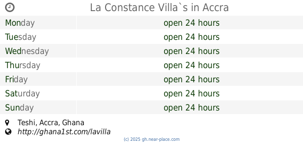
La Constance Villa`s
Accra
Lodging
read more
805 m
Matino Guest House
Off Spintex Road, Accra
Lodging
read more
840 m
La Casera Apartment
Nii Martey Tsuru Street, adjacent CEO, Accra
Lodging
read more
853 m
Ts Lodgings
Accra
Lodging
read more
904 m
Oak Plaza Hotel, East Airport
Spintex Road, Accra
Lodging
read more
1.037 km
SUU'S RAHAMA GUEST HOUSE
Accra
Lodging
read more
1.11 km
Royal Richester Hotel
5 Richester Lane, East Legon, Accra
Lodging
read more
1.115 km
hotel Robin Hood
80 Spintex Road, Accra
Lodging
read more
1.214 km
Manet Ville Villa
B21 Manet Ville, Accra
Lodging
read more
1.303 km
Danso Plaza
3 Boundary Road, Accra
Lodging
read more
1.567 km
Empire State Hotel
00233, Busia Street, east legon, Accra
Lodging
read more
1.661 km
Classy 2 bedroom Villa
34 Boundary Road West, Accra
Lodging
read more
2.083 km
Grace Court
32 Mensah Wood Road, Accra
Lodging
read more
2.272 km
Tribeca Hotel
3427 Tsotsooagbon Street,, Accra
Lodging
read more
2.387 km
King's Lodge
Madina
Lodging
read more
2.731 km
Hilton View Hotel
Adjiringanor, Madina
Lodging
read more
📑
all categories
Accounting
Administrative area level 1
Administrative area level 2
Airport
Amusement park
Aquarium
Art gallery
Atm
Bakery
Bank
Bar
Beauty salon
Bicycle store
Book store
Bus station
Cafe
Campground
Car dealer
Car rental
Car repair
Car wash
Casino
Cemetery
Church
City hall
Clothing store
Colloquial area
Convenience store
Courthouse
Dentist
Department store
Doctor
Electrician
Electronics store
Embassy
Finance
Fire station
Florist
Food
Funeral home
Furniture store
Gas station
General contractor
Grocery or supermarket
Gym
Hair care
Hardware store
Health
Hindu Temple
Home goods store
Hospital
Insurance agency
Intersection
Jewelry store
Laundry
Lawyer
Library
Liquor store
Local government office
Locality
Locksmith
Lodging
Meal delivery
Meal takeaway
Mosque
Movie rental
Movie theater
Moving company
Museum
Natural feature
Neighborhood
Night club
Painter
Park
Parking
Pet store
Pharmacy
Physiotherapist
Place of worship
Plumber
Point of interest
Police
Post office
Premise
Real estate agency
Restaurant
Roofing contractor
Route
Rv park, camping
School
Shoe store
Shopping mall
Spa
Stadium
Storage
Store
Subpremise
Subway station
Supermarket
Synagogue
Taxi stand
Train station
Transit station
Travel agency
University
Veterinary care
Zoo
sublocality level 1
↑