Lodging nearby Garnet Hostel
Ghana
Lodging nearby Garnet Hostel
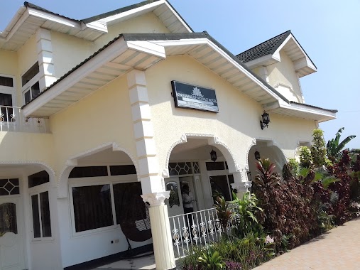
Garnet Hostel
Acra, Ghana
contacts phone
:
+233
Latitude:
5.6546238
, Longitude:
-0.1598305
larger map & directions
read more
nearest Lodging
280 m
The Highbridge Guest Lodge
9 Stream St, Off Ayele Junction, UPS Road, East Legon,, East Legon, Accra
Lodging
read more
295 m
The Highbridge Guest Lounge
Unnamed Road,, Accra
Lodging
read more
374 m
Joy Hostel
Unnamed Road,, Accra
Lodging
read more
516 m
Pekan Hotel
Nii Torgbor Avenue, Accra
Lodging
read more
517 m
Heaven's Gate Hostel
Near UPSA
Lodging
read more
558 m
Akapulko Guest House
U.P.S Road Opposite Accra College Of Education, Madina
Lodging
read more
574 m
Maple Court
Accra
Lodging
read more
586 m
Starr's Residence
6 obodai close, east legon
Lodging
read more
644 m
Bridgina
Accra
Lodging
read more
672 m
Goodwill Plaza Hostel
Accra
Lodging
read more
717 m
Ben-Debi Hostel
New Road, Madina
Lodging
read more
730 m
Pilma hotel
Madina
Lodging
read more
738 m
Skyline Guest House
Madina
Lodging
read more
793 m
Near Ideal College Int. School
East Legon, H/N 141 mempeasem, Accra
Lodging
read more
808 m
Nadasa Royal Hotel
Nii Kakwaranya Road, East Legon
Lodging
read more
825 m
Yas Hostel
Accra
Lodging
read more
872 m
Reign Quarters
Accra
Lodging
read more
873 m
Ben-Dabi Hostel
New Road, Accra
Lodging
read more
875 m
Adasa Royal Hotels Ltd.
Nii Kakwaranya Road, Accra
Lodging
read more
896 m
Kingsbridge Royale Hotel
ARS Road,, Accra
Lodging
read more
949 m
White House, MEST
Accra
Lodging
read more
965 m
SandCity Hotel, MEST
Asoyi Close, Accra
Lodging
read more
981 m
Prestige Hostel
New Road, Accra
Lodging
read more
985 m
Agape Villa hostel
Accra
Lodging
read more
1.19 km
Green Hostel
Madina
Lodging
read more
📑
all categories
Accounting
Administrative area level 1
Administrative area level 2
Airport
Amusement park
Aquarium
Art gallery
Atm
Bakery
Bank
Bar
Beauty salon
Bicycle store
Book store
Bus station
Cafe
Campground
Car dealer
Car rental
Car repair
Car wash
Casino
Cemetery
Church
City hall
Clothing store
Colloquial area
Convenience store
Courthouse
Dentist
Department store
Doctor
Electrician
Electronics store
Embassy
Finance
Fire station
Florist
Food
Funeral home
Furniture store
Gas station
General contractor
Grocery or supermarket
Gym
Hair care
Hardware store
Health
Hindu Temple
Home goods store
Hospital
Insurance agency
Intersection
Jewelry store
Laundry
Lawyer
Library
Liquor store
Local government office
Locality
Locksmith
Lodging
Meal delivery
Meal takeaway
Mosque
Movie rental
Movie theater
Moving company
Museum
Natural feature
Neighborhood
Night club
Painter
Park
Parking
Pet store
Pharmacy
Physiotherapist
Place of worship
Plumber
Point of interest
Police
Post office
Premise
Real estate agency
Restaurant
Roofing contractor
Route
Rv park, camping
School
Shoe store
Shopping mall
Spa
Stadium
Storage
Store
Subpremise
Subway station
Supermarket
Synagogue
Taxi stand
Train station
Transit station
Travel agency
University
Veterinary care
Zoo
sublocality level 1
↑