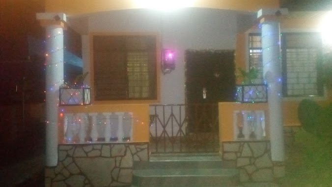
Lodging nearby J B Villagio Estates
Ghana
Lodging nearby J B Villagio Estates
J B Villagio Estates
Ghana
contacts phone
:
+233
Latitude:
5.7737408
, Longitude:
-0.1850134
larger map & directions
read more
nearest Lodging
533 m
Ubuntu Estates
Unnamed Road
Lodging
read more
901 m
Bo Esa Villas
Oyarifa Road Ga East
Lodging
read more
929 m
Mr Smith Hotel
P. O. Box 289 Abokobi - Accra, Danfa
Lodging
read more
1.403 km
PLATINUM COURT HOTEL
Oyarifa Road
Lodging
read more
1.483 km
Rehoboth Courts Estates
Ghana
Lodging
read more
1.492 km
Pam's Lodge
No 2 Crescent Street. Rehoboth Estates, Pantang
Lodging
read more
1.508 km
Violettes Villa
No.3 Lavender Street, Rehoboth Courts, Oyarifa, Oyarifa
Lodging
read more
1.545 km
Burgar Town Guest House
Burgar Town Last Bustop, Oyarifa
Lodging
read more
1.725 km
Burger Town Guest House
Ghana
Lodging
read more
1.801 km
Winnel Royal Hotel
Lodging
read more
2.425 km
Hill Palace Hotel
P. O. Box 48 Akwapim Mampong, Peduasi
Lodging
read more
2.561 km
Africa Housing Estate
Ghana
Lodging
read more
2.578 km
African Dream Guesthouse
Oyarifa estates Oyarifa, Oshiyie
Lodging
read more
2.654 km
Jason Lodge
Kitase, Aburi
Lodging
read more
2.666 km
INTERNATIONAL STUDENT GUEST CENTER
Lodging
read more
2.678 km
Isgc
Lodging
read more
2.79 km
HillView
Oyarifa, Danfa
Lodging
read more
2.796 km
Bannerman Residence Oyarifa
Ghana
Lodging
read more
2.925 km
Hephzibah Christian Centre
Oyarifa - Aburi Road
Lodging
read more
3.415 km
The Tree House B&B, Aburi
Aburi
Lodging
read more
3.731 km
Oyarifa White House
Lodging
read more
4.063 km
Columbiana
University Avenue
Lodging
read more
4.34 km
Amrahia Dairy Farm
Ghana
Lodging
read more
4.56 km
Weema Hotel
H/No.46, East Agbogba (Sakora), Madina
Lodging
read more
4.913 km
Nananom Hostel
Ghana
Lodging
read more
📑
all categories
Accounting
Administrative area level 1
Administrative area level 2
Airport
Amusement park
Aquarium
Art gallery
Atm
Bakery
Bank
Bar
Beauty salon
Bicycle store
Book store
Bus station
Cafe
Campground
Car dealer
Car rental
Car repair
Car wash
Casino
Cemetery
Church
City hall
Clothing store
Colloquial area
Convenience store
Courthouse
Dentist
Department store
Doctor
Electrician
Electronics store
Embassy
Finance
Fire station
Florist
Food
Funeral home
Furniture store
Gas station
General contractor
Grocery or supermarket
Gym
Hair care
Hardware store
Health
Hindu Temple
Home goods store
Hospital
Insurance agency
Intersection
Jewelry store
Laundry
Lawyer
Library
Liquor store
Local government office
Locality
Locksmith
Lodging
Meal delivery
Meal takeaway
Mosque
Movie rental
Movie theater
Moving company
Museum
Natural feature
Neighborhood
Night club
Painter
Park
Parking
Pet store
Pharmacy
Physiotherapist
Place of worship
Plumber
Point of interest
Police
Post office
Premise
Real estate agency
Restaurant
Roofing contractor
Route
Rv park, camping
School
Shoe store
Shopping mall
Spa
Stadium
Storage
Store
Subpremise
Subway station
Supermarket
Synagogue
Taxi stand
Train station
Transit station
Travel agency
University
Veterinary care
Zoo
sublocality level 1
↑