Lodging nearby Logess Estates Guesthouse
Ghana
Lodging nearby Logess Estates Guesthouse
Logess Estates Guesthouse
16 Adjei Onanor Street, Adenta East, Accra, Accra, Ghana
contacts phone
:
+233 27 998 8840
website:
viavia.world
Latitude:
5.701605
, Longitude:
-0.170728
larger map & directions
read more
nearest Lodging
218 m
Logess Guest House
18 Adom street
Lodging
read more
285 m
Grace Villa
Adom street, Adenta Municipality
Lodging
read more
368 m
Royal Paradise Hotel
18 Adom street
Lodging
read more
393 m
Browne Hostel
124, Agbawe Avenue, Adenta Municipality
Lodging
read more
465 m
Sakora Taxi rank
Ghana
Lodging
read more
521 m
Higher height hotel
Ghana
Lodging
read more
586 m
Barclays House
Ghana
Lodging
read more
590 m
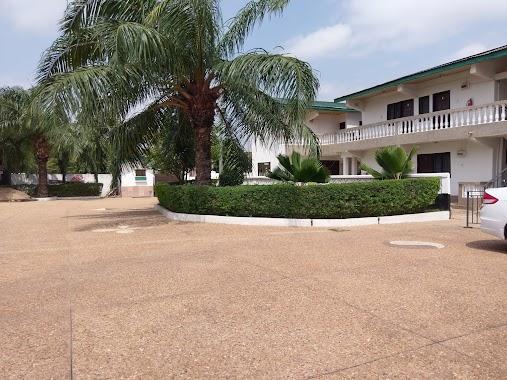
Shalom Lodge, Adenta
Unnamed Road, Madina
Lodging
read more
622 m
Monrose Guest House
Lodging
read more
725 m
Jubilee House
Plot 76 East Adentan Estates
Lodging
read more
741 m
nanas holiday let guest house
Nii Tempon Street, ghana
Lodging
read more
781 m
Wintata Lodge
Ghana
Lodging
read more
835 m
HanPrince Lodge
Adenta, West
Lodging
read more
945 m
Wisdom Rest Stop/Hostel Annex
Near Assemblies of God Church, Adenta
Lodging
read more
985 m
Adenta Residence
Adenta, off Aburi Road, Adentan
Lodging
read more
1.065 km
Gunubu's Res
Lodging
read more
1.174 km
Jayliz Lodge
Atswei Street
Lodging
read more
1.231 km
Kobby's Hotel
Anum Street, Madina
Lodging
read more
1.342 km
J&J Hostel Adenta Sakora
Adenta Municipality
Lodging
read more
1.44 km
Jayliz Lodge
No. 113, Angel View Residential Area, Adenta West, Adenta
Lodging
read more
1.68 km
Weema Hostel
Norwood City
Lodging
read more
1.683 km
The Whitestone Inn
North Legon Extension, La-Nkwantanang, North Legon
Lodging
read more
1.905 km
Ritz Hotel Approx.
Agblezaa - Manet Road, Accra
Lodging
read more
1.927 km
Ask Ameh Hotel
Redco Flats, Madina
Lodging
read more
1.999 km
Easy Trans Guesthouse
Bethel Street, Unity Avenue, Shalom Estate Junction, Adenta
Lodging
read more
📑
all categories
Accounting
Administrative area level 1
Administrative area level 2
Airport
Amusement park
Aquarium
Art gallery
Atm
Bakery
Bank
Bar
Beauty salon
Bicycle store
Book store
Bus station
Cafe
Campground
Car dealer
Car rental
Car repair
Car wash
Casino
Cemetery
Church
City hall
Clothing store
Colloquial area
Convenience store
Courthouse
Dentist
Department store
Doctor
Electrician
Electronics store
Embassy
Finance
Fire station
Florist
Food
Funeral home
Furniture store
Gas station
General contractor
Grocery or supermarket
Gym
Hair care
Hardware store
Health
Hindu Temple
Home goods store
Hospital
Insurance agency
Intersection
Jewelry store
Laundry
Lawyer
Library
Liquor store
Local government office
Locality
Locksmith
Lodging
Meal delivery
Meal takeaway
Mosque
Movie rental
Movie theater
Moving company
Museum
Natural feature
Neighborhood
Night club
Painter
Park
Parking
Pet store
Pharmacy
Physiotherapist
Place of worship
Plumber
Point of interest
Police
Post office
Premise
Real estate agency
Restaurant
Roofing contractor
Route
Rv park, camping
School
Shoe store
Shopping mall
Spa
Stadium
Storage
Store
Subpremise
Subway station
Supermarket
Synagogue
Taxi stand
Train station
Transit station
Travel agency
University
Veterinary care
Zoo
sublocality level 1
↑