Lodging nearby Nikki’s Guest House
Ghana
Lodging nearby Nikki’s Guest House
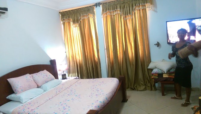
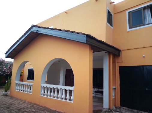
Nikki’s Guest House
Madina, Ghana
contacts phone
:
+233
Latitude:
5.6801471
, Longitude:
-0.1719537
larger map & directions
read more
nearest Lodging
69 m
Nikki’s Guest House
Opposite Oman FM 0263901434/0249107090, Madina
Lodging
read more
308 m
Rasco Hotel
Madina
Lodging
read more
382 m
Lajoya Court
legonman estates Accra
Lodging
read more
471 m
Ask Ameh Hotel
Redco Flats, Madina
Lodging
read more
599 m
Bethel Heights Hotel
Bheights Hotel Near Redco Flats in Madina, Madina
Lodging
read more
620 m
Bethel Heights Hotel
Redco, Madina
Lodging
read more
720 m
The Whitestone Inn
North Legon Extension, La-Nkwantanang, North Legon
Lodging
read more
782 m
Mj Grand Hotel
Madina
Lodging
read more
856 m
Marissa Hotel
Ghana
Lodging
read more
861 m
Kwasemaa Hostel
Madina
Lodging
read more
866 m
Salmarise Hotel
Kofi Annan Avenue, Madina
Lodging
read more
963 m
Marisa Hotel, Madina Accra
Madina
Lodging
read more
1.096 km
Unique Citizens Hotel
North Legon
Lodging
read more
1.1 km
MEST EIT Hostel
Lodging
read more
1.137 km
Ritz Hotel Approx.
Agblezaa - Manet Road, Accra
Lodging
read more
1.139 km
Aseda Hostel
Lodging
read more
1.151 km
Royal Habiba Hotel
Madina
Lodging
read more
1.308 km
Jayliz Lodge
No. 113, Angel View Residential Area, Adenta West, Adenta
Lodging
read more
1.33 km
Charly's Hostel
16 Avenue E North Legon
Lodging
read more
1.339 km
Hallmark Residences
North Legon, No. 329
Lodging
read more
1.371 km
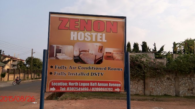
Zenon Hostel
Ghana
Lodging
read more
1.405 km
Cesia Lodge, 127 KOFI ANNAN AVENUE
Kofi Annan Avenue, Madina
Lodging
read more
1.907 km
Teachers Fund (TF) Hostel
University Of Ghana, Accra
Lodging
read more
1.984 km
Kobby's Hotel
Anum Street, Madina
Lodging
read more
2.225 km
J&J Hostel Adenta Sakora
Adenta Municipality
Lodging
read more
📑
all categories
Accounting
Administrative area level 1
Administrative area level 2
Airport
Amusement park
Aquarium
Art gallery
Atm
Bakery
Bank
Bar
Beauty salon
Bicycle store
Book store
Bus station
Cafe
Campground
Car dealer
Car rental
Car repair
Car wash
Casino
Cemetery
Church
City hall
Clothing store
Colloquial area
Convenience store
Courthouse
Dentist
Department store
Doctor
Electrician
Electronics store
Embassy
Finance
Fire station
Florist
Food
Funeral home
Furniture store
Gas station
General contractor
Grocery or supermarket
Gym
Hair care
Hardware store
Health
Hindu Temple
Home goods store
Hospital
Insurance agency
Intersection
Jewelry store
Laundry
Lawyer
Library
Liquor store
Local government office
Locality
Locksmith
Lodging
Meal delivery
Meal takeaway
Mosque
Movie rental
Movie theater
Moving company
Museum
Natural feature
Neighborhood
Night club
Painter
Park
Parking
Pet store
Pharmacy
Physiotherapist
Place of worship
Plumber
Point of interest
Police
Post office
Premise
Real estate agency
Restaurant
Roofing contractor
Route
Rv park, camping
School
Shoe store
Shopping mall
Spa
Stadium
Storage
Store
Subpremise
Subway station
Supermarket
Synagogue
Taxi stand
Train station
Transit station
Travel agency
University
Veterinary care
Zoo
sublocality level 1
↑