places in Mampong
Coronavirus disease (COVID-19) Situation
confirmed cases
171889
deaths
1462
Ghana
Mampong
Mampong
Administrative Region:
Ashanti Region
population:
42 795
calling code:
+233-32
postcode:
AMXXX
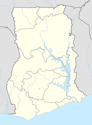
Location on the map of Ghana
Mampong
Church
Messiah Baptist Church
Mampong
Church
read more
The Church Of Pentecost Nazareth Assembly, Adiembra District
Mampong
Church
read more
Nwase Roman Catholic Church
Church
read more
SDA Church, Central
Mampong
Church
read more
St Michael & All Angels Anglican Church
Mampong
Church
read more
Episcopal Holy Temple
Mampong
Church
read more
Deeper Life Bible Church
Mampong
Church
read more
Ebenezer Methodist Church
Mampong
Church
read more
St. Pauls Catholic Church
Mampong
Church
read more
International Gospel Church
Mampong
Church
read more
Apostles Continuation Church International
Mampong
Church
read more
Presbytarian Church Peace
Mr Ernest street, Abrukutuaso
Church
read more
Clothing store
Oduro Tailor Shop
Unnamed Road, Mampong
Clothing store
read more
Last Hour Wholesale
Mampong
Clothing store
read more
Courthouse
Mampong High Court
Mampong
Courthouse
read more
Finance
Airtel Money R. K Markus Ventures
Near Modex Filling Station, Ejura - Kumasi Road, Mampong
Finance
read more
Airtel Money Sia Mobile Enterprise Ltd Mampong
Near The Post Office Building, Ejura - Kumasi Road, Mampong
Finance
read more
Airtel Money T. K Businesses
Near The Presby Church, Ejura - Kumasi Road, Mampong
Finance
read more
Airtel Money B & G Ventures
Opposite Tetteh Quashie Memorial Hospital, Ejura - Kumasi Road, Mampong
Finance
read more
Gas station
Frimps Filling Station
Mampong
Gas station
read more
Nasona Filling Station
Unnamed Road,, Mampong
Gas station
read more
Techiman
Mampong
Gas station
read more
Kyeremfaso Mampong
Ghana
Gas station
read more
Shell Filling Station
Mampong
Gas station
read more
📑
Mampong all categories
Accounting
Administrative area level 2
Bank
Bar
Bus station
Cafe
Church
Clothing store
Courthouse
Electronics store
Finance
Gas station
Grocery or supermarket
Hair care
Health
Home goods store
Hospital
Local government office
Locality
Lodging
Mosque
Movie theater
Park
Place of worship
Point of interest
Police
Premise
Restaurant
Route
School
Shopping mall
Store
University
↑