Night club nearby Gumzang Night Club
Ghana
Night club nearby Gumzang Night Club
Gumzang Night Club
Ashaiman, Tema Ghana
contacts phone
:
+233
Latitude:
5.6821737
, Longitude:
-0.0374228
read more
nearest Night club
1.971 km
特马十二区澳门赌场
Hospital Road Link Extension, Tema
Night club
read more
1.983 km
KTV
Tema
Night club
read more
2.277 km
金龙赌场
Tema
Night club
read more
2.451 km
Tyron's Pub
Community 9, Tema
Night club
read more
3.132 km
Signature Night Club
Tema
Night club
read more
3.698 km
Club Faliesa
Tema
Night club
read more
6.539 km
Bawo's Hotel & Night Club
Tema
Night club
read more
6.563 km
Bethel Retreat Centre
Tema
Night club
read more
8.516 km
Timbarra
Tema
Night club
read more
10.287 km
Cylabite Healthy Alternatives
Ghana
Night club
read more
11.87 km
Billy Jane Night Club
Accra
Night club
read more
12.704 km
Panda Lounge
Dawhenya
Night club
read more
12.887 km
Knk Deals
Madina
Night club
read more
12.99 km
Nhyiraba Kojo City Night Club
Spintex Road, Accra
Night club
read more
13.254 km
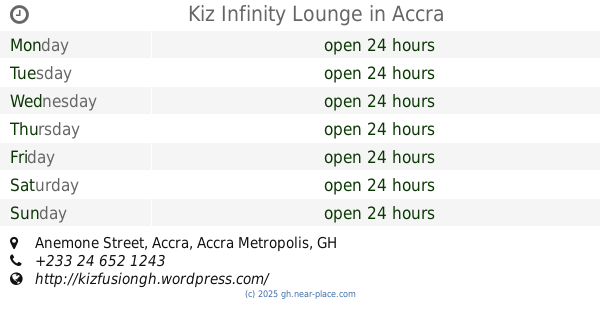
Kiz Infinity Lounge
Anemone Street, Accra
Night club
read more
13.363 km
Paparazzi Lounge
1 Cotton Street, Accra
Night club
read more
13.372 km
TRUTH ALL BLACK PARTY
2-16, Cotton Street, Accra
Night club
read more
13.619 km
C&J Pub and Lounge
Madina
Night club
read more
14.106 km
i3 wine and smoothies pub
Teshie Road, Accra
Night club
read more
14.521 km
Coltrane Jazz Club
Adenta Municipality
Night club
read more
14.941 km
Pagayouth Club
Madina
Night club
read more
18.636 km
Barrus Sports Bar & Lounge
Labadi, Accra
Night club
read more
18.876 km
Society Builders' Club
Old Fort Link Road, Accra
Night club
read more
19.188 km
Hush Lounge
Olooti Lane, Accra
Night club
read more
19.217 km
Lush Nightclub
Ndabaningi Sithole Road, Accra
Night club
read more
📑
all categories
Accounting
Administrative area level 1
Administrative area level 2
Airport
Amusement park
Aquarium
Art gallery
Atm
Bakery
Bank
Bar
Beauty salon
Bicycle store
Book store
Bus station
Cafe
Campground
Car dealer
Car rental
Car repair
Car wash
Casino
Cemetery
Church
City hall
Clothing store
Colloquial area
Convenience store
Courthouse
Dentist
Department store
Doctor
Electrician
Electronics store
Embassy
Finance
Fire station
Florist
Food
Funeral home
Furniture store
Gas station
General contractor
Grocery or supermarket
Gym
Hair care
Hardware store
Health
Hindu Temple
Home goods store
Hospital
Insurance agency
Intersection
Jewelry store
Laundry
Lawyer
Library
Liquor store
Local government office
Locality
Locksmith
Lodging
Meal delivery
Meal takeaway
Mosque
Movie rental
Movie theater
Moving company
Museum
Natural feature
Neighborhood
Night club
Painter
Park
Parking
Pet store
Pharmacy
Physiotherapist
Place of worship
Plumber
Point of interest
Police
Post office
Premise
Real estate agency
Restaurant
Roofing contractor
Route
Rv park, camping
School
Shoe store
Shopping mall
Spa
Stadium
Storage
Store
Subpremise
Subway station
Supermarket
Synagogue
Taxi stand
Train station
Transit station
Travel agency
University
Veterinary care
Zoo
sublocality level 1
↑