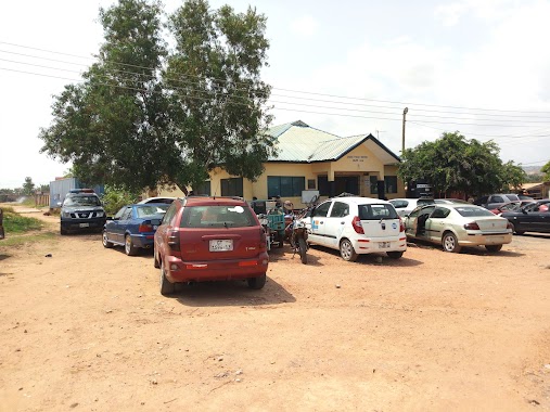
Police nearby Achimota Police Station
Coronavirus disease (COVID-19) Situation
confirmed cases
171889
deaths
1462
Ghana
Police nearby Achimota Police Station
Achimota Police Station
Accra Ghana
contacts phone
:
+233
Latitude:
5.6216057
, Longitude:
-0.2184576
read more
nearest Police
785 m
Police Station (Achimota New Station)
Accra
Police
read more
1.968 km
Tesano Police Station
Abelemkpe, Accra
Police
read more
1.971 km
Tesano Police Station
Accra
Police
read more
2.416 km
ABC Police Quarters
Ghana
Police
read more
2.595 km
Dzorwulu Police Station
Accra
Police
read more
2.685 km
Roman Ridge Police Station
Roman Ridge, Accra
Police
read more
3.141 km
National Police Academy And Training School
North Industrial Area, Accra
Police
read more
3.454 km
Ghana Police Depot
Nsawam Road, Accra
Police
read more
3.576 km
Ghana Police Training Centre
Accra
Police
read more
3.701 km
Kotobabi Police Station
Kotobabi Road, Accra
Police
read more
4.133 km
westland police station
Accra
Police
read more
4.856 km
Airport Police Station
Liberation Road, Accra
Police
read more
5.362 km
Ghana Police Service (Legon Station)
Legon East Road, Accra
Police
read more
5.404 km
Legon Police Station
Acra
Police
read more
5.404 km
Legon Police Station
Accra
Police
read more
6.502 km
Odorkor Mttu
Odorkor, Accra
Police
read more
6.508 km
Odorkor Police Station
Accra
Police
read more
6.508 km
Odorkor Police Station
Acra
Police
read more
6.879 km
Sowutoum Police Station
Sowutoum Main Road
Police
read more
6.908 km
Cantonments District Police Station
Cantonments, Accra
Police
read more
8.881 km
Ashongman Police Station
Ghana
Police
read more
9.418 km
Gbawe LAFA Police Station
Gbawe Road, Accra
Police
read more
9.67 km
Ogbojo Police Station
Ogbodjo
Police
read more
10.581 km
New Ogbojo Police station
addy business solutions
Police
read more
14.687 km
Nungua District Police HeadQuarters
Accra
Police
read more
📑
all categories
Accounting
Administrative area level 1
Administrative area level 2
Airport
Amusement park
Aquarium
Art gallery
Atm
Bakery
Bank
Bar
Beauty salon
Bicycle store
Book store
Bus station
Cafe
Campground
Car dealer
Car rental
Car repair
Car wash
Casino
Cemetery
Church
City hall
Clothing store
Colloquial area
Convenience store
Courthouse
Dentist
Department store
Doctor
Electrician
Electronics store
Embassy
Finance
Fire station
Florist
Food
Funeral home
Furniture store
Gas station
General contractor
Grocery or supermarket
Gym
Hair care
Hardware store
Health
Hindu Temple
Home goods store
Hospital
Insurance agency
Intersection
Jewelry store
Laundry
Lawyer
Library
Liquor store
Local government office
Locality
Locksmith
Lodging
Meal delivery
Meal takeaway
Mosque
Movie rental
Movie theater
Moving company
Museum
Natural feature
Neighborhood
Night club
Painter
Park
Parking
Pet store
Pharmacy
Physiotherapist
Place of worship
Plumber
Point of interest
Police
Post office
Premise
Real estate agency
Restaurant
Roofing contractor
Route
Rv park, camping
School
Shoe store
Shopping mall
Spa
Stadium
Storage
Store
Subpremise
Subway station
Supermarket
Synagogue
Taxi stand
Train station
Transit station
Travel agency
University
Veterinary care
Zoo
sublocality level 1
↑