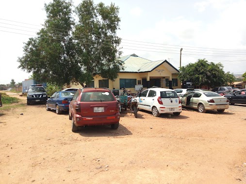
Police nearby Agbogba Container Police Post
Ghana
Police nearby Agbogba Container Police Post
Agbogba Container Police Post
North Legon, Ghana
contacts phone
:
+233
Latitude:
5.6867866
, Longitude:
-0.1941019
larger map & directions
read more
nearest Police
26 m
Agbogba police station
Police
read more
541 m
Haatso-Ecomog Police Station
Ghana
Police
read more
1.795 km
Haatso Police Station
Haatso
Police
read more
2.968 km
MADINA DIVISIONAL POLICE HEADQUARTERS
Madina
Police
read more
3.417 km
Adenta Police Station
Ghana
Police
read more
3.429 km
Adenta MTTU
Ghana
Police
read more
3.617 km
westland police station
Accra
Police
read more
3.723 km
Akporman Police Post
Unnamed Rd
Police
read more
4.344 km
Ghana Police Service (Legon Station)
Legon East Road, Accra
Police
read more
4.355 km
Legon Police Station
Acra
Police
read more
4.355 km
Legon Police Station
Accra
Police
read more
4.755 km
Atomic Police Station
Haatso-Atomic Road
Police
read more
4.973 km
Ashongman Police Station
Ghana
Police
read more
5.135 km
Police Station
Ashongman Estates
Police
read more
6.027 km
Ogbojo Police Station
Ogbodjo
Police
read more
6.579 km
New Ogbojo Police station
addy business solutions
Police
read more
9.701 km
Tesano Police Station
Accra
Police
read more
10.794 km
Ayi Mensah Police Station
Oyarifa Road
Police
read more
11.802 km
Sowutoum Police Station
Sowutoum Main Road
Police
read more
12.8 km
Cantonments District Police Station
Cantonments, Accra
Police
read more
14.02 km
Police Station - Comm 18
the place
Police
read more
15.535 km
Nungua District Police HeadQuarters
Accra
Police
read more
15.832 km
Sakumono District Police Headquarters
Sakumono
Police
read more
15.837 km
Sakumono Police Station
Huntington Drive, Tema
Police
read more
16.089 km
Gbawe LAFA Police Station
Gbawe Road, Accra
Police
read more
📑
all categories
Accounting
Administrative area level 1
Administrative area level 2
Airport
Amusement park
Aquarium
Art gallery
Atm
Bakery
Bank
Bar
Beauty salon
Bicycle store
Book store
Bus station
Cafe
Campground
Car dealer
Car rental
Car repair
Car wash
Casino
Cemetery
Church
City hall
Clothing store
Colloquial area
Convenience store
Courthouse
Dentist
Department store
Doctor
Electrician
Electronics store
Embassy
Finance
Fire station
Florist
Food
Funeral home
Furniture store
Gas station
General contractor
Grocery or supermarket
Gym
Hair care
Hardware store
Health
Hindu Temple
Home goods store
Hospital
Insurance agency
Intersection
Jewelry store
Laundry
Lawyer
Library
Liquor store
Local government office
Locality
Locksmith
Lodging
Meal delivery
Meal takeaway
Mosque
Movie rental
Movie theater
Moving company
Museum
Natural feature
Neighborhood
Night club
Painter
Park
Parking
Pet store
Pharmacy
Physiotherapist
Place of worship
Plumber
Point of interest
Police
Post office
Premise
Real estate agency
Restaurant
Roofing contractor
Route
Rv park, camping
School
Shoe store
Shopping mall
Spa
Stadium
Storage
Store
Subpremise
Subway station
Supermarket
Synagogue
Taxi stand
Train station
Transit station
Travel agency
University
Veterinary care
Zoo
sublocality level 1
↑