School nearby Baabs Academy School
Ghana
School nearby Baabs Academy School
Baabs Academy School
Ghana Ghana
contacts phone
:
+233
Latitude:
5.6608553
, Longitude:
-0.3033048
read more
nearest School
1.315 km
Akuffo Complex School
School
read more
1.361 km
Galaxy International School
School
read more
1.654 km
Hill View International School
School
read more
1.817 km
Geodak School Complex
Ghana
School
read more
1.825 km
Gold Standard Day Care
Ayawaso Blema
School
read more
1.877 km
Bright Hope Academy
Ghana
School
read more
1.954 km
Olebu Central Mosque
School
read more
2.09 km
Beam County School
School
read more
2.124 km
Blessed Royal Academy
School
read more
2.149 km
Asofan, Public School
Unnamed Road
School
read more
2.161 km
Confidence International German School
School
read more
2.191 km
Ayawaso Quarry D/A
Nii Ayi Kushi street
School
read more
2.232 km
Godson Academy
Abodwesen junction
School
read more
2.503 km
Hope Training Institute
Nii Ayi Kushi Road
School
read more
2.532 km
Floyd Albert International School
School
read more
2.699 km
Hill Top Academy
Ghana
School
read more
2.996 km
WesternHills Nursing Trainign
Asofan Avenue
School
read more
3.092 km
Yaweh International School
North,
School
read more
3.296 km
His Majesty Experimental School
Ghana
School
read more
3.459 km
Royalty Montessori Int'l School
School
read more
3.769 km
St BB INTERNATIONAL SCHOOL
Blackberry Street, Takoradi
School
read more
3.934 km
Liberty School
New, Achimota
School
read more
6.522 km
KNUST Kwabenya Campus
Unnamed Rd
School
read more
6.618 km
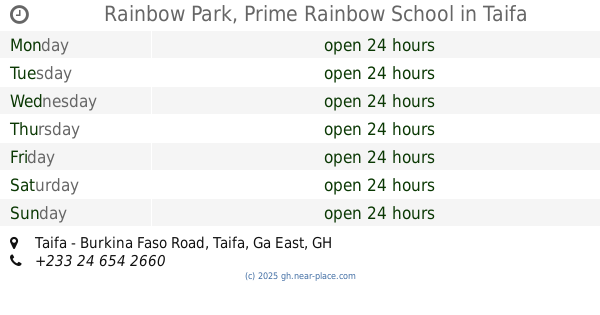
Rainbow Park, Prime Rainbow School
Taifa - Burkina Faso Road, Taifa
School
read more
6.677 km
Polypet Academy Annex
Water Avenue, Nii Okaiman West
School
read more
📑
all categories
Accounting
Administrative area level 1
Administrative area level 2
Airport
Amusement park
Aquarium
Art gallery
Atm
Bakery
Bank
Bar
Beauty salon
Bicycle store
Book store
Bus station
Cafe
Campground
Car dealer
Car rental
Car repair
Car wash
Casino
Cemetery
Church
City hall
Clothing store
Colloquial area
Convenience store
Courthouse
Dentist
Department store
Doctor
Electrician
Electronics store
Embassy
Finance
Fire station
Florist
Food
Funeral home
Furniture store
Gas station
General contractor
Grocery or supermarket
Gym
Hair care
Hardware store
Health
Hindu Temple
Home goods store
Hospital
Insurance agency
Intersection
Jewelry store
Laundry
Lawyer
Library
Liquor store
Local government office
Locality
Locksmith
Lodging
Meal delivery
Meal takeaway
Mosque
Movie rental
Movie theater
Moving company
Museum
Natural feature
Neighborhood
Night club
Painter
Park
Parking
Pet store
Pharmacy
Physiotherapist
Place of worship
Plumber
Point of interest
Police
Post office
Premise
Real estate agency
Restaurant
Roofing contractor
Route
Rv park, camping
School
Shoe store
Shopping mall
Spa
Stadium
Storage
Store
Subpremise
Subway station
Supermarket
Synagogue
Taxi stand
Train station
Transit station
Travel agency
University
Veterinary care
Zoo
sublocality level 1
↑