School nearby Faith And Love College Of Technology (FALCOT)
Ghana
School nearby Faith And Love College Of Technology (FALCOT)
Faith And Love College Of Technology (FALCOT)
Abeka, Accra, Ghana
contacts phone
:
+233
website:
falcot.org
Latitude:
5.6001409
, Longitude:
-0.2388461
larger map & directions
read more
nearest School
38 m
Falcot Junction
134/24 Abeka Road, Accra
School
read more
282 m
Antah Academy
Abeka, Accra
School
read more
288 m
St. Thomas Preparatory School
Abeka Road, Accra
School
read more
302 m
Harrow Int. Prep School
Fadama Street, Accra
School
read more
320 m
HARROW INT'L SCHOOL
Abeka, Accra
School
read more
375 m
KING AND QUEEN INT'L SCHOOL
Abeka, Accra
School
read more
575 m
Fun N Learn School
Near Lake Side Clinic, Feo Eyeo Road, Accra
School
read more
627 m
Kairos Computer Graphics Training Center
Abeka Road, Accra
School
read more
706 m
Little Saints School
Accra
School
read more
712 m
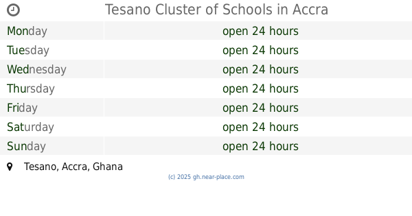
Tesano Cluster of Schools
Tesano, Accra
School
read more
760 m
Unto Others International School, Abeka
Church Street, Accra
School
read more
812 m
God's Grace International Montessori School
P. O. Box AB 56 Abeka, 2 Naa Ata Street, Accra
School
read more
890 m
Green U College
2 Naa Ata Street, Accra
School
read more
897 m
Kwame
2 Naa Ata Street, Accra
School
read more
900 m
Rev. William Vernon Ofori Memorial School
Accra
School
read more
923 m
Abeka 1, 2, and 3 JHS
Abeka, Accra
School
read more
938 m
Danquah International school
Abeka, Accra
School
read more
958 m
Mizpah International School
Ninth Road, Accra
School
read more
993 m
ALABASTER INTERNATIONAL SCHOOL
4th Mukose link, Accra
School
read more
995 m
Zealous Preparatory School
Accra
School
read more
1.044 km
Advanced Business College
Abeka, Accra
School
read more
1.115 km
Holy Alpha Academy
Lapaz
School
read more
1.191 km
Global Executive Institute
Yaboi street
School
read more
1.221 km
Talents Restoration Academy
Lapaz
School
read more
1.391 km
Shiayennoh Junior High School
Accra
School
read more
📑
all categories
Accounting
Administrative area level 1
Administrative area level 2
Airport
Amusement park
Aquarium
Art gallery
Atm
Bakery
Bank
Bar
Beauty salon
Bicycle store
Book store
Bus station
Cafe
Campground
Car dealer
Car rental
Car repair
Car wash
Casino
Cemetery
Church
City hall
Clothing store
Colloquial area
Convenience store
Courthouse
Dentist
Department store
Doctor
Electrician
Electronics store
Embassy
Finance
Fire station
Florist
Food
Funeral home
Furniture store
Gas station
General contractor
Grocery or supermarket
Gym
Hair care
Hardware store
Health
Hindu Temple
Home goods store
Hospital
Insurance agency
Intersection
Jewelry store
Laundry
Lawyer
Library
Liquor store
Local government office
Locality
Locksmith
Lodging
Meal delivery
Meal takeaway
Mosque
Movie rental
Movie theater
Moving company
Museum
Natural feature
Neighborhood
Night club
Painter
Park
Parking
Pet store
Pharmacy
Physiotherapist
Place of worship
Plumber
Point of interest
Police
Post office
Premise
Real estate agency
Restaurant
Roofing contractor
Route
Rv park, camping
School
Shoe store
Shopping mall
Spa
Stadium
Storage
Store
Subpremise
Subway station
Supermarket
Synagogue
Taxi stand
Train station
Transit station
Travel agency
University
Veterinary care
Zoo
sublocality level 1
↑