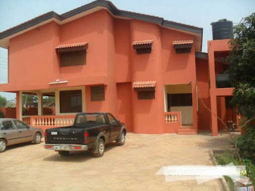
Bank nearby Abokobi Area Rural Bank
Ghana
Bank nearby Abokobi Area Rural Bank
Abokobi Area Rural Bank
Ghana Ghana
contacts phone
:
+233
Latitude:
5.7310155
, Longitude:
-0.2043191
read more
nearest Bank
3.301 km
Abokobi Area Rural Bank
Oyarifa Road, Ga East
Bank
read more
3.806 km
Beige Capital
Adenta Municipality, Opposite Meaglent Hotel, off Adenta - Oyarifa road
Bank
read more
4.481 km
Fidelity Bank - Adentan Branch
Adenta Municipality
Bank
read more
4.595 km
GN Bank
Adenta Municipality
Bank
read more
4.691 km
PBL Adenta
N4
Bank
read more
4.692 km
Prudential Bank Ltd, Adentan Branch
4A Lami Dwaahe Street, Housing Estate Road Adentan Housing Estate Private Mail Bag, G.P.O, Accra
Bank
read more
4.742 km
Asa Savings and loans Adenta
Kpotekope Adenta
Bank
read more
5.072 km
Peoples Micro Credit Services
P O Box DT 925, Adenta West, Block G/211
Bank
read more
5.151 km
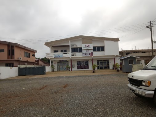
Abokobi Area Rural Bank - Adenta
34 Lame Dwaahe Street, Adenta Municipality
Bank
read more
5.303 km
Stanbic Bank
Ghana
Bank
read more
5.343 km
National Investment Bank
N4, Madina
Bank
read more
5.345 km
NIB
Ghana
Bank
read more
5.509 km
Beige Care
Numo Kwei Street, Adenta Municipality
Bank
read more
5.572 km
The BEIGE Bank Adenta Main Branch
N4, Madina
Bank
read more
5.715 km
Wema Microfinance Ltd
Bank
read more
6.253 km
Salam Forex Bureau Ltd
Madina
Bank
read more
6.273 km
CDH Savings & Loans
Ghana
Bank
read more
6.471 km
Cash Plus Savings & Loans
Kwabenya
Bank
read more
6.55 km
The BEIGE Bank Kwabenya Pokuase Branch
Saint Johns - Dome - Kwabenya - Brekusu Road, Kwabenya
Bank
read more
6.56 km
The BEIGE Bank
Kwabenya
Bank
read more
6.678 km
Ga Rural Bank Ltd.
Ghana
Bank
read more
10.439 km
Royal Steps Microfinance Limited
Accra
Bank
read more
10.889 km
First Atlantic Bank
Lagos Avenue, Opposite DNR Turkish Restaurant, East Legon
Bank
read more
11.486 km
Fidelity Bank Mile 7
Ghana
Bank
read more
15.933 km
The BEIGE Bank - Darkuman Branch
Darkuman Road, Accra
Bank
read more
📑
all categories
Accounting
Administrative area level 1
Administrative area level 2
Airport
Amusement park
Aquarium
Art gallery
Atm
Bakery
Bank
Bar
Beauty salon
Bicycle store
Book store
Bus station
Cafe
Campground
Car dealer
Car rental
Car repair
Car wash
Casino
Cemetery
Church
City hall
Clothing store
Colloquial area
Convenience store
Courthouse
Dentist
Department store
Doctor
Electrician
Electronics store
Embassy
Finance
Fire station
Florist
Food
Funeral home
Furniture store
Gas station
General contractor
Grocery or supermarket
Gym
Hair care
Hardware store
Health
Hindu Temple
Home goods store
Hospital
Insurance agency
Intersection
Jewelry store
Laundry
Lawyer
Library
Liquor store
Local government office
Locality
Locksmith
Lodging
Meal delivery
Meal takeaway
Mosque
Movie rental
Movie theater
Moving company
Museum
Natural feature
Neighborhood
Night club
Painter
Park
Parking
Pet store
Pharmacy
Physiotherapist
Place of worship
Plumber
Point of interest
Police
Post office
Premise
Real estate agency
Restaurant
Roofing contractor
Route
Rv park, camping
School
Shoe store
Shopping mall
Spa
Stadium
Storage
Store
Subpremise
Subway station
Supermarket
Synagogue
Taxi stand
Train station
Transit station
Travel agency
University
Veterinary care
Zoo
sublocality level 1
↑