Doctor nearby Sam Optics Limited
Ghana
Doctor nearby Sam Optics Limited
Sam Optics Limited
Accra, Ghana
contacts phone
:
+233 30 271 6679
Latitude:
5.5893089
, Longitude:
-0.0974262
larger map & directions
read more
nearest Doctor
3.802 km
Soyuz Medical Imaging
Batsonaa Highway, Accra
Doctor
read more
3.977 km
Efan Victory Clinic
Batsonaa Highway, Accra
Doctor
read more
4.86 km
Gildams Pharmacy
Unnamed Road, Accra
Doctor
read more
5.547 km
Nana Akwasi Agyeman
Del mar Avenue, Accra
Doctor
read more
5.547 km
Giang Pilates
Del mar Avenue, Accra
Doctor
read more
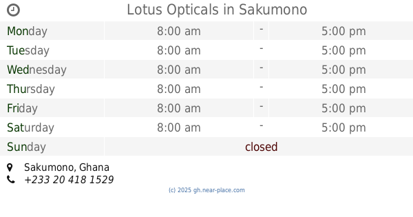
5.806 km
Lotus Opticals
Sakumono
Doctor
read more
6.511 km
Sankofa Alternative Clinic
Ashaiman Lashibi Road, Tema
Doctor
read more
9.421 km
illuminati offices
Mankata Avenue, Accra
Doctor
read more
9.617 km
Blacklion Tattoo Studio
Accra
Doctor
read more
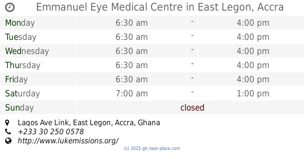
9.658 km
Emmanuel Eye Medical Centre
Lagos Ave Link, East Legon, Accra
Doctor
read more
10.654 km
Akl Dentiste 0244 329 332
Accra
Doctor
read more
10.713 km
Dr. Akl
Roman Ridge, Accra
Doctor
read more
10.862 km
CHILDAccra
Accra
Doctor
read more
11.025 km
Becks Optical
Unnamed Road, Madina
Doctor
read more
11.777 km
Duah Clinic
5th Crescent, Accra
Doctor
read more
11.831 km
Delcielo Optical Services
Accra
Doctor
read more
12.282 km
Malico Pharmacy
5 Oroko Street, Accra
Doctor
read more
12.567 km
Tema Animal Hospital
1 Frasier Street, Tema
Doctor
read more
12.632 km
Health Screen Ghana Clinic
No.1, Information Drive,Education Close,Adabraka OPPOSITE MINISTRY OF INFORMATION,WORKERS COLLEGE COMPOUND, Accra
Doctor
read more
12.634 km
Science of Beauty tips
Kofi Annan Avenue, Madina
Doctor
read more
12.788 km
LifeWellness Wholistic Center
No.7 Faanofa Road, Kokomlemle Box AN5466 Accra-North, Accra
Doctor
read more
13.179 km
Egon German Clinic
Abelemkpe Street, Accra
Doctor
read more
15.339 km
中国医疗队
Koowulu Street, Accra
Doctor
read more
15.655 km
School of Biomedical Allied Health Sciences
Harley Street, Accra
Doctor
read more
17.161 km
Nuclear Regulatory Authority
Doctor
read more
📑
all categories
Accounting
Administrative area level 1
Administrative area level 2
Airport
Amusement park
Aquarium
Art gallery
Atm
Bakery
Bank
Bar
Beauty salon
Bicycle store
Book store
Bus station
Cafe
Campground
Car dealer
Car rental
Car repair
Car wash
Casino
Cemetery
Church
City hall
Clothing store
Colloquial area
Convenience store
Courthouse
Dentist
Department store
Doctor
Electrician
Electronics store
Embassy
Finance
Fire station
Florist
Food
Funeral home
Furniture store
Gas station
General contractor
Grocery or supermarket
Gym
Hair care
Hardware store
Health
Hindu Temple
Home goods store
Hospital
Insurance agency
Intersection
Jewelry store
Laundry
Lawyer
Library
Liquor store
Local government office
Locality
Locksmith
Lodging
Meal delivery
Meal takeaway
Mosque
Movie rental
Movie theater
Moving company
Museum
Natural feature
Neighborhood
Night club
Painter
Park
Parking
Pet store
Pharmacy
Physiotherapist
Place of worship
Plumber
Point of interest
Police
Post office
Premise
Real estate agency
Restaurant
Roofing contractor
Route
Rv park, camping
School
Shoe store
Shopping mall
Spa
Stadium
Storage
Store
Subpremise
Subway station
Supermarket
Synagogue
Taxi stand
Train station
Transit station
Travel agency
University
Veterinary care
Zoo
sublocality level 1
↑