Health nearby Nasit Pharmacy
Ghana
Health nearby Nasit Pharmacy
Nasit Pharmacy
Kasoa Road, Kasoa Ghana
contacts phone
:
+233
Latitude:
5.5457287
, Longitude:
-0.3821645
read more
nearest Health
1.507 km
Mountain View Community Hospital
Ngleshi Amanfro
Health
read more
2.939 km
Mile 11 Pharmacy, Accra Ghana
Pharmacy, Near Finney Hospital,, Mile 11
Health
read more
3.303 km
Kings Dominion
Kasoa Road, Kasoa
Health
read more
3.894 km
ROBERT & SONS LTD - WEIJA
Mankessim - Accra Road, Ngleshi Amanfro
Health
read more
4.43 km
Pharmatrust
Weija Police Station & Staff Bangalows
Health
read more
4.773 km
Vine Medical Center
Ghana
Health
read more
5.039 km
Kasoa Comunity Clinic
Gomoa Nyanyano-Kasoa Road, Kasoa
Health
read more
6.684 km
EyeSmith Center
Weija - Accra Road, Weija -Accra
Health
read more
9.631 km
A & M LIFE DIAGNOSTIC CENTRE
Gbawe Road, Gbawe
Health
read more
9.88 km
Lib Pharmacy
Gbawe
Health
read more
10.455 km
Ga-South District Hospital
Accra
Health
read more
11.371 km
AIDE CHEMISTS AWOSHIE
Awoshie Palas Town junction, Awoshie
Health
read more
11.821 km
Lifeman Herbal Clinic
Health
read more
12.367 km
Relationship And Marriage Training And Consulting Centre
Awoshie
Health
read more
12.578 km
Fidelity Pharmacy
Accra
Health
read more
12.922 km
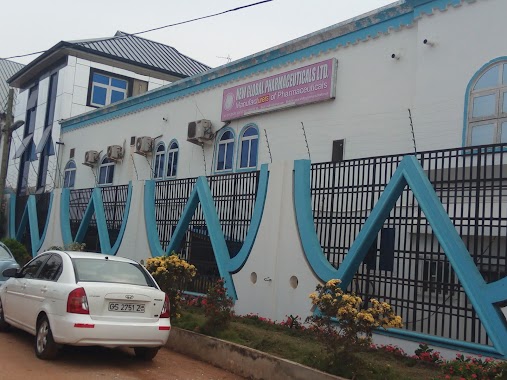
New Global Pharmaceuticals
Plot No.1 Light Industrial Area, Odorkor, Accra
Health
read more
13.152 km
Transcendental Meditation
7th Busia Lane, Accra
Health
read more
13.257 km
Ernesmay Pharmacy
Doctor Busia Street, Accra
Health
read more
13.396 km
Life Check Pharmacy
Dansoman Beach Road, Accra
Health
read more
13.72 km
Healthline Medical Ltd
2nd Addy junction, Kwashieman, Osakuman Street, Accra
Health
read more
13.725 km
Colliers Pharmacy
Blue Lagoon Road, Accra
Health
read more
14.09 km
Aston Pharmacy
Accra
Health
read more
14.748 km
Bright Aid Pharmacy
Accra
Health
read more
14.75 km
Kwadwo Boapim Herbal Clinic
Accra
Health
read more
16.912 km
Rahma Maternity Home & Clinic
Health
read more
📑
all categories
Accounting
Administrative area level 1
Administrative area level 2
Airport
Amusement park
Aquarium
Art gallery
Atm
Bakery
Bank
Bar
Beauty salon
Bicycle store
Book store
Bus station
Cafe
Campground
Car dealer
Car rental
Car repair
Car wash
Casino
Cemetery
Church
City hall
Clothing store
Colloquial area
Convenience store
Courthouse
Dentist
Department store
Doctor
Electrician
Electronics store
Embassy
Finance
Fire station
Florist
Food
Funeral home
Furniture store
Gas station
General contractor
Grocery or supermarket
Gym
Hair care
Hardware store
Health
Hindu Temple
Home goods store
Hospital
Insurance agency
Intersection
Jewelry store
Laundry
Lawyer
Library
Liquor store
Local government office
Locality
Locksmith
Lodging
Meal delivery
Meal takeaway
Mosque
Movie rental
Movie theater
Moving company
Museum
Natural feature
Neighborhood
Night club
Painter
Park
Parking
Pet store
Pharmacy
Physiotherapist
Place of worship
Plumber
Point of interest
Police
Post office
Premise
Real estate agency
Restaurant
Roofing contractor
Route
Rv park, camping
School
Shoe store
Shopping mall
Spa
Stadium
Storage
Store
Subpremise
Subway station
Supermarket
Synagogue
Taxi stand
Train station
Transit station
Travel agency
University
Veterinary care
Zoo
sublocality level 1
↑