places in Keta
Ghana
Keta
Keta
Administrative Region:
Volta Region
population:
23 207
calling code:
+233-36
postcode:
VKXXX
Location on the map of Ghana
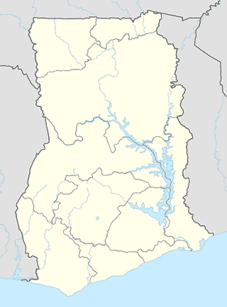
Keta
Church
Global Evangelical Church - Bethany
Keta
Church
read more
Living Testimony Christian Centre
Dzelukope South Link, Keta
Church
read more
A.M.E Zion Church, St John Society
Keta
Church
read more
St. Peters R.C Church
Keta
Church
read more
Christ Embassy Dzelukope
Keta
Church
read more
Apostles Revelation Society
Keta
Church
read more
Kingdom hall Of Jehovah's witnesses
Tegbi
Church
read more
Praise Baptist Church Keta
Keta
Church
read more
Mount Zion Charismatic Ministry - Zion Temple ( HeadQuarters)
Keta
Church
read more
Old Evangelical Presbyterian Church & School
Keta
Church
read more
Praise Baptist Church
Keta
Church
read more
Lighthouse Chapel International.Keta branch
Dzelukope South Link, Keta
Church
read more
Celebrated Victory Church
Keta
Church
read more
Keta E.P. Church & School
Keta
Church
read more
St. Michaels Chatedral
Keta
Church
read more
Locality
Keta
Keta
Locality
read more
Gas station
SHELL
Keta
Gas station
read more
Glory Oil
Keta
Gas station
read more
Louis Gas Filling Station
Keta
Gas station
read more
Hospital
Keta Government Hospital
Keta
Hospital
read more
Natural feature
Seva
Ghana
Natural feature
read more
lagoon
Keta
Natural feature
read more
Keta Lagoon
Ghana
Natural feature
read more
📑
Keta all categories
Administrative area level 2
Bank
Bar
Beauty salon
Book store
Bus station
Cafe
Car repair
Cemetery
Church
City hall
Courthouse
Electronics store
Finance
Gas station
Grocery or supermarket
Hair care
Health
Home goods store
Hospital
Insurance agency
Library
Local government office
Locality
Lodging
Natural feature
Night club
Park
Parking
Place of worship
Point of interest
Police
Post office
Premise
Restaurant
Route
School
Shopping mall
Store
University
↑