Lodging nearby Bani Hostel Block B
Ghana
Lodging nearby Bani Hostel Block B
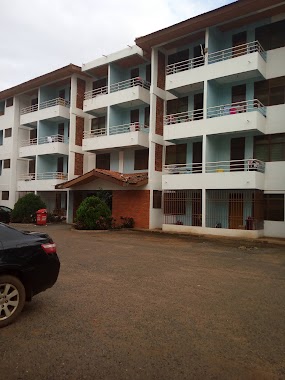
Bani Hostel Block B
Accra, Ghana
contacts phone
:
+233
Latitude:
5.6631633
, Longitude:
-0.17993
larger map & directions
read more
nearest Lodging
24 m
Bani Hostel
Legon East Road, Accra
Lodging
read more
173 m
Evandy Hostel United Nations Hall
Accra
Lodging
read more
426 m
Teachers Fund (TF) Hostel
University Of Ghana, Accra
Lodging
read more
526 m
African Union (Pentagon) Hall, Block B
Annie Jiagge Road, Accra
Lodging
read more
534 m
Africana Guesthouse
Haatso-Atomic Road
Lodging
read more
540 m
African Union (Pentagon) Hall, Block C
Annie Jiagge Road, Accra
Lodging
read more
681 m
GHANA HOSTELS LTD FLATS PENTAGON
Accra
Lodging
read more
682 m
African Union (Pentagon) Hall, Block A
Annie Jiagge Road, Accra
Lodging
read more
687 m
Cesia Lodge, 127 KOFI ANNAN AVENUE
Kofi Annan Avenue, Madina
Lodging
read more
728 m
African Union Hall (Pentagon Hostel)
Accra
Lodging
read more
739 m
Hallmark Properties- Apartment 2
31 Kofi Annan Avenue, North Legon
Lodging
read more
749 m
African Union Hall (Pentagon Hostel), Nairobi Court
Annie Jiagge Road, Accra
Lodging
read more
769 m
Clark House
Accra
Lodging
read more
769 m
Engman House
Accra
Lodging
read more
774 m
Salmarise Hotel
Kofi Annan, Avenue, Kofi Annan Avenue, Madina
Lodging
read more
810 m
Hallmark Residences
North Legon, No. 329
Lodging
read more
849 m
Salmarise Hotel
Ghana
Lodging
read more
859 m
Sefa Memorial House
Madina
Lodging
read more
870 m
Akro House
located next to Bungalow 22/23, Accra
Lodging
read more
872 m
Riis House
Accra
Lodging
read more
933 m
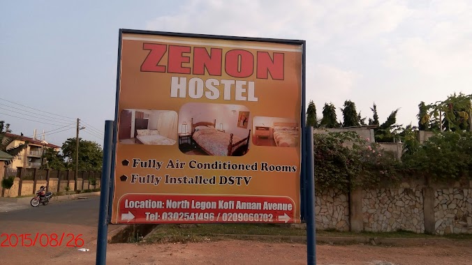
Zenon Hostel
Ghana
Lodging
read more
990 m
Aseda Hostel
Lodging
read more
996 m
Charly's Hostel
16 Avenue E North Legon
Lodging
read more
1.044 km
UPSA Hostel4
Opposite the PreSec gate IPS road, Accra
Lodging
read more
1.309 km
Sey's Apartments
A304/12, Ebenezer Laing Road, Accra
Lodging
read more
📑
all categories
Accounting
Administrative area level 1
Administrative area level 2
Airport
Amusement park
Aquarium
Art gallery
Atm
Bakery
Bank
Bar
Beauty salon
Bicycle store
Book store
Bus station
Cafe
Campground
Car dealer
Car rental
Car repair
Car wash
Casino
Cemetery
Church
City hall
Clothing store
Colloquial area
Convenience store
Courthouse
Dentist
Department store
Doctor
Electrician
Electronics store
Embassy
Finance
Fire station
Florist
Food
Funeral home
Furniture store
Gas station
General contractor
Grocery or supermarket
Gym
Hair care
Hardware store
Health
Hindu Temple
Home goods store
Hospital
Insurance agency
Intersection
Jewelry store
Laundry
Lawyer
Library
Liquor store
Local government office
Locality
Locksmith
Lodging
Meal delivery
Meal takeaway
Mosque
Movie rental
Movie theater
Moving company
Museum
Natural feature
Neighborhood
Night club
Painter
Park
Parking
Pet store
Pharmacy
Physiotherapist
Place of worship
Plumber
Point of interest
Police
Post office
Premise
Real estate agency
Restaurant
Roofing contractor
Route
Rv park, camping
School
Shoe store
Shopping mall
Spa
Stadium
Storage
Store
Subpremise
Subway station
Supermarket
Synagogue
Taxi stand
Train station
Transit station
Travel agency
University
Veterinary care
Zoo
sublocality level 1
↑