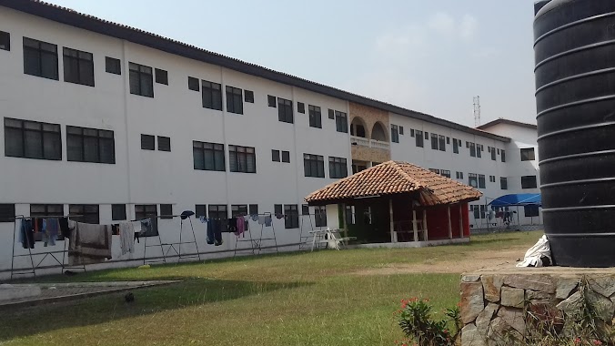
Lodging nearby Elizabeth Frances Sey Hall
Ghana
Lodging nearby Elizabeth Frances Sey Hall
Elizabeth Frances Sey Hall
Accra Ghana
contacts phone
:
+233
Latitude:
5.6360716
, Longitude:
-0.1874036
read more
nearest Lodging
162 m
Jean Nelson Aka Hall
Accra
Lodging
read more
189 m
Alexander Kwapong Hall
University Of Ghana, Accra
Lodging
read more
334 m
Dr. Hilla Liman Hall
Jubilee Drive, Accra
Lodging
read more
492 m
Limann
Accra
Lodging
read more
492 m
Jubilee Hall
Accra
Lodging
read more
499 m
International Student Hostel 1(ISH1)
Jubilee Drive, Accra
Lodging
read more
503 m
International Student Hostel- ISH
University Of Ghana, Accra
Lodging
read more
617 m
Viri Lodge, University of Ghana, Legon.
Accra
Lodging
read more
631 m
International Student's Hostel 2 (ISH 2)
Accra
Lodging
read more
760 m
Yiri Lodge, University Of Ghana, Legon
Accra
Lodging
read more
810 m
Institute of African Studies, Yiri Lodge
Institute of African Studies Chalets,, South Legon Drive, Accra
Lodging
read more
911 m
Valco Trust Hostel 2
Noguchie Link, Accra
Lodging
read more
948 m
Vikings Hostel
Noguchie Link, Accra
Lodging
read more
1.016 km
University Guest Centre
Leslie MarCarthy Link, Accra
Lodging
read more
1.223 km
GS Plaza Hotel
Plot 26 South Legon, Shiashie, Accra
Lodging
read more
1.267 km
Legon Hall Annex C (GRADUATE HOSTEL)
Barimah Road, Accra
Lodging
read more
1.268 km
Hotel Obama
Accra
Lodging
read more
1.329 km
Tulip Inn Accra
South Legon, Accra
Lodging
read more
1.33 km
Tulip Inn
No. 4 Centenary Close, Accra
Lodging
read more
1.669 km
Family Life Hotel
Accra
Lodging
read more
1.77 km
17th January Hotel
Kwame Asante Avenue, West Legon, Accra
Lodging
read more
1.776 km
Senior Common Room
commonwealth hall
Lodging
read more
1.917 km
Takako Court 1
East Legon, Accra
Lodging
read more
1.968 km
Park Royale
36 North Airport Road, Accra
Lodging
read more
2.017 km
Airport West Hotel
North Airport Rd, Accra
Lodging
read more
📑
all categories
Accounting
Administrative area level 1
Administrative area level 2
Airport
Amusement park
Aquarium
Art gallery
Atm
Bakery
Bank
Bar
Beauty salon
Bicycle store
Book store
Bus station
Cafe
Campground
Car dealer
Car rental
Car repair
Car wash
Casino
Cemetery
Church
City hall
Clothing store
Colloquial area
Convenience store
Courthouse
Dentist
Department store
Doctor
Electrician
Electronics store
Embassy
Finance
Fire station
Florist
Food
Funeral home
Furniture store
Gas station
General contractor
Grocery or supermarket
Gym
Hair care
Hardware store
Health
Hindu Temple
Home goods store
Hospital
Insurance agency
Intersection
Jewelry store
Laundry
Lawyer
Library
Liquor store
Local government office
Locality
Locksmith
Lodging
Meal delivery
Meal takeaway
Mosque
Movie rental
Movie theater
Moving company
Museum
Natural feature
Neighborhood
Night club
Painter
Park
Parking
Pet store
Pharmacy
Physiotherapist
Place of worship
Plumber
Point of interest
Police
Post office
Premise
Real estate agency
Restaurant
Roofing contractor
Route
Rv park, camping
School
Shoe store
Shopping mall
Spa
Stadium
Storage
Store
Subpremise
Subway station
Supermarket
Synagogue
Taxi stand
Train station
Transit station
Travel agency
University
Veterinary care
Zoo
sublocality level 1
↑