Pharmacy nearby Mokat Chemists
Ghana
Pharmacy nearby Mokat Chemists
Mokat Chemists
La Road, Accra Ghana
contacts phone
:
+233
Latitude:
5.5566503
, Longitude:
-0.1656625
read more
nearest Pharmacy
318 m
Main Street Pharmacy And Diagnostic Centre La
La Road, Accra
Pharmacy
read more
436 m
Safeway Chemist Ltd.
La Road, Accra
Pharmacy
read more
581 m
Minimax Pharmacy Limited
By Pass Road, Accra
Pharmacy
read more
656 m
Healthsyle Pharmacy Osu
Oshie Road, Accra
Pharmacy
read more
742 m
Mikaddo Pharmacy
Osu, Accra
Pharmacy
read more
762 m
Bibs Pharmacy Ltd
Maale Dada Street, Accra
Pharmacy
read more
964 m
Halkom Pharmacy
First Osu Lane, Accra
Pharmacy
read more
1.365 km
La Central Pharmacy
Ghana
Pharmacy
read more
1.475 km
Franzwill Chemists Ltd
23 Sai Kojo Street, Accra
Pharmacy
read more
1.475 km
Franzwill Chemists Ltd
Ghana
Pharmacy
read more
1.512 km
Paul Health & Beauty
13 Orphan Crescent, Accra
Pharmacy
read more
1.634 km
Medi Point Pharmacy
Accra
Pharmacy
read more
1.649 km
Maker Pharmacy
Kwakwranya Street, Accra
Pharmacy
read more
1.656 km
Vitan Pharmacy Limited.
Ghana
Pharmacy
read more
1.856 km
Goodcare Pharmacy
Accra
Pharmacy
read more
1.874 km
Palace Pharmacy
Accra
Pharmacy
read more
1.906 km
Jinlet Pharmacy
Oxford Street, Accra
Pharmacy
read more
1.924 km
Jislord Pharmacy
Basel Street, Accra
Pharmacy
read more
1.928 km
God Pharmacy Grace Herbal Diagnostic Center
Ghana
Pharmacy
read more
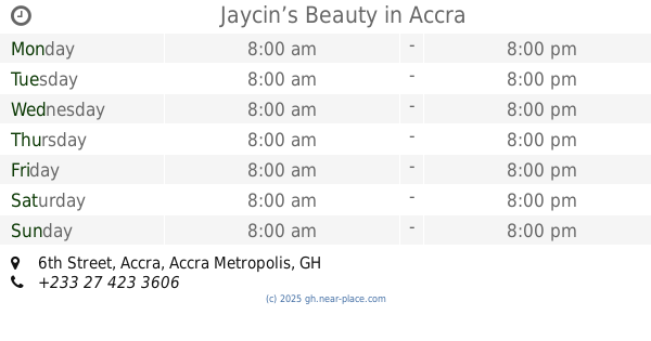
1.948 km
Jaycin’s Beauty
6th Street, Accra
Pharmacy
read more
2.012 km
Palm-Aid Pharmacy Ltd
Ghana
Pharmacy
read more
2.065 km
G&H Pharmacy Ltd
Ghana
Pharmacy
read more
2.168 km
Bernswett Pharmacy
Peter Ala Adjetey Avenue, Accra
Pharmacy
read more
2.236 km
HAP LICENSED CHEMICAL STORE
Labadi, Accra
Pharmacy
read more
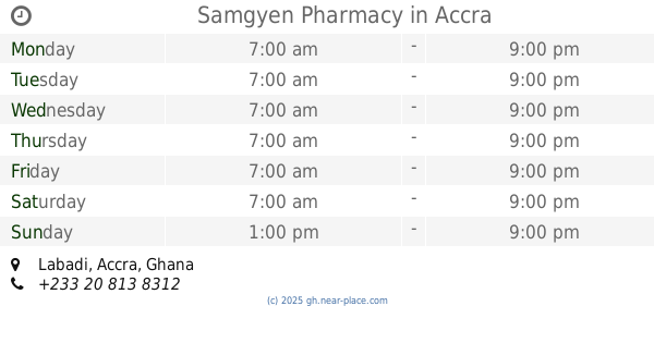
2.308 km
Samgyen Pharmacy
Labadi, Accra
Pharmacy
read more
📑
all categories
Accounting
Administrative area level 1
Administrative area level 2
Airport
Amusement park
Aquarium
Art gallery
Atm
Bakery
Bank
Bar
Beauty salon
Bicycle store
Book store
Bus station
Cafe
Campground
Car dealer
Car rental
Car repair
Car wash
Casino
Cemetery
Church
City hall
Clothing store
Colloquial area
Convenience store
Courthouse
Dentist
Department store
Doctor
Electrician
Electronics store
Embassy
Finance
Fire station
Florist
Food
Funeral home
Furniture store
Gas station
General contractor
Grocery or supermarket
Gym
Hair care
Hardware store
Health
Hindu Temple
Home goods store
Hospital
Insurance agency
Intersection
Jewelry store
Laundry
Lawyer
Library
Liquor store
Local government office
Locality
Locksmith
Lodging
Meal delivery
Meal takeaway
Mosque
Movie rental
Movie theater
Moving company
Museum
Natural feature
Neighborhood
Night club
Painter
Park
Parking
Pet store
Pharmacy
Physiotherapist
Place of worship
Plumber
Point of interest
Police
Post office
Premise
Real estate agency
Restaurant
Roofing contractor
Route
Rv park, camping
School
Shoe store
Shopping mall
Spa
Stadium
Storage
Store
Subpremise
Subway station
Supermarket
Synagogue
Taxi stand
Train station
Transit station
Travel agency
University
Veterinary care
Zoo
sublocality level 1
↑