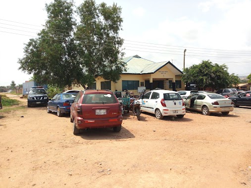
Police nearby Sakaman Traffic Light
Ghana
Police nearby Sakaman Traffic Light
Sakaman Traffic Light
Ablekuma, Accra, Ghana
contacts phone
:
+233
Latitude:
5.5760735
, Longitude:
-0.2746988
larger map & directions
read more
nearest Police
1.97 km
Odorkor Police Station
Accra
Police
read more
1.97 km
Odorkor Police Station
Acra
Police
read more
1.976 km
Odorkor Mttu
Odorkor, Accra
Police
read more
2.085 km
Gbawe LAFA Police Station
Gbawe Road, Accra
Police
read more
3.096 km
Anyaa Police Station
Ghana
Police
read more
4.478 km
Kaneshie Police station
Kaneshie Maket, Accra
Police
read more
5.084 km
Police Station Old
Ghana
Police
read more
5.434 km
Sowutoum Police Station
Sowutoum Main Road
Police
read more
6.183 km
Israel Police Station
5°37'52.9"N 0°16'07., Pinto Road, Accra
Police
read more
6.347 km
Tesano Police Station
Accra
Police
read more
6.89 km
Adabraka Police Station ( District Police Headquarters)
Kwame Nkrumah Avenue, Accra
Police
read more
7.364 km
Police Station (Achimota New Station)
Accra
Police
read more
7.807 km
MTTU
Acra
Police
read more
7.927 km
Weija Police Station
Ghana
Police
read more
9.242 km
Dzorwulu Police Station
Accra
Police
read more
9.68 km
Ghana Police Headquarters
Accra
Police
read more
9.853 km
CID HEADQUARTERS OF GHANA POLICE SERVICE
Cantonments, Accra
Police
read more
10.461 km
Cantonments District Police Station
Cantonments, Accra
Police
read more
11.187 km
Atomic Police Station
Haatso-Atomic Road
Police
read more
11.426 km
Airport Police Station
Liberation Road, Accra
Police
read more
13.423 km
Legon Police Station
Accra
Police
read more
13.599 km
La Police Station
Manle, Maale Dada Street, Accra
Police
read more
14.308 km
Ashongman Police Station
Ghana
Police
read more
17.649 km
Ogbojo Police Station
Ogbodjo
Police
read more
18.554 km
Adenta MTTU
Ghana
Police
read more
📑
all categories
Accounting
Administrative area level 1
Administrative area level 2
Airport
Amusement park
Aquarium
Art gallery
Atm
Bakery
Bank
Bar
Beauty salon
Bicycle store
Book store
Bus station
Cafe
Campground
Car dealer
Car rental
Car repair
Car wash
Casino
Cemetery
Church
City hall
Clothing store
Colloquial area
Convenience store
Courthouse
Dentist
Department store
Doctor
Electrician
Electronics store
Embassy
Finance
Fire station
Florist
Food
Funeral home
Furniture store
Gas station
General contractor
Grocery or supermarket
Gym
Hair care
Hardware store
Health
Hindu Temple
Home goods store
Hospital
Insurance agency
Intersection
Jewelry store
Laundry
Lawyer
Library
Liquor store
Local government office
Locality
Locksmith
Lodging
Meal delivery
Meal takeaway
Mosque
Movie rental
Movie theater
Moving company
Museum
Natural feature
Neighborhood
Night club
Painter
Park
Parking
Pet store
Pharmacy
Physiotherapist
Place of worship
Plumber
Point of interest
Police
Post office
Premise
Real estate agency
Restaurant
Roofing contractor
Route
Rv park, camping
School
Shoe store
Shopping mall
Spa
Stadium
Storage
Store
Subpremise
Subway station
Supermarket
Synagogue
Taxi stand
Train station
Transit station
Travel agency
University
Veterinary care
Zoo
sublocality level 1
↑