Restaurant nearby D-Joint Restaurant
Ghana
Restaurant nearby D-Joint Restaurant
D-Joint Restaurant
Ga West, Ghana
contacts phone
:
+233
Latitude:
5.6964103
, Longitude:
-0.2940851
larger map & directions
read more
nearest Restaurant
142 m
R.O Kitchen
Restaurant
read more
557 m
Fox Lane
Fox Lane, Amasaman
Restaurant
read more
871 m
Render Tasty Treat
Ghana
Restaurant
read more
899 m
EIemawusi Bar
Amasaman
Restaurant
read more
1.367 km
Kantanka Classic
Ghana
Restaurant
read more
1.899 km
African Village
Ghana
Restaurant
read more
2.044 km
Kitikri Chop Bar
Love Avenue, Amasaman, Ga West
Restaurant
read more
3.009 km
Hajia's Final Touch
Ghana
Restaurant
read more
3.336 km
Bon Appetit restaurant
Kwabenya-Pokuase Road
Restaurant
read more
3.816 km
Tessbert Sports Bar & Restaurant
Kwabenya
Restaurant
read more
4.013 km
Wendix Food House And Bar
Kwabenya-Pokuase Road, Kwabenya
Restaurant
read more
4.2 km
Odor Rise Food Services And Pub
Achiaman
Restaurant
read more
4.235 km
SaladfarmGH1
Kwabenya
Restaurant
read more
4.353 km
Dennis Hse
5°42'34.8"N 0°19'52.0"W
Restaurant
read more
4.5 km
Rubies Cuisine
Anyaa-Awoshie Road
Restaurant
read more
4.851 km
Savita Lodge
Ghana
Restaurant
read more
5.053 km
VICTORY CHOPS (Ghanaian Local Dish cook house)
Restaurant
read more
5.157 km
Tuo Bar
Metropolis, Accra
Restaurant
read more
5.353 km
Adubea Restaurant
Taifa
Restaurant
read more
6.175 km
Indo Mie Commoners
Ghana
Restaurant
read more
13.953 km
Tashi's Northern Bazaar
Accra
Restaurant
read more
15.731 km
Burger King Accra Mall
Accra
Restaurant
read more
15.96 km
Bush Kanteen
Accra - Tema Motorway, Accra
Restaurant
read more
16.768 km
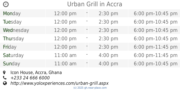
Urban Grill
Icon House, Accra
Restaurant
read more
19.818 km
R.A.A Catering Services
Accra
Restaurant
read more
📑
all categories
Accounting
Administrative area level 1
Administrative area level 2
Airport
Amusement park
Aquarium
Art gallery
Atm
Bakery
Bank
Bar
Beauty salon
Bicycle store
Book store
Bus station
Cafe
Campground
Car dealer
Car rental
Car repair
Car wash
Casino
Cemetery
Church
City hall
Clothing store
Colloquial area
Convenience store
Courthouse
Dentist
Department store
Doctor
Electrician
Electronics store
Embassy
Finance
Fire station
Florist
Food
Funeral home
Furniture store
Gas station
General contractor
Grocery or supermarket
Gym
Hair care
Hardware store
Health
Hindu Temple
Home goods store
Hospital
Insurance agency
Intersection
Jewelry store
Laundry
Lawyer
Library
Liquor store
Local government office
Locality
Locksmith
Lodging
Meal delivery
Meal takeaway
Mosque
Movie rental
Movie theater
Moving company
Museum
Natural feature
Neighborhood
Night club
Painter
Park
Parking
Pet store
Pharmacy
Physiotherapist
Place of worship
Plumber
Point of interest
Police
Post office
Premise
Real estate agency
Restaurant
Roofing contractor
Route
Rv park, camping
School
Shoe store
Shopping mall
Spa
Stadium
Storage
Store
Subpremise
Subway station
Supermarket
Synagogue
Taxi stand
Train station
Transit station
Travel agency
University
Veterinary care
Zoo
sublocality level 1
↑