School nearby Hope Int. School
Ghana
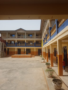
School nearby Hope Int. School
Hope Int. School
Ga, West Ghana
contacts phone
:
+233
Latitude:
5.5777904
, Longitude:
-0.3375584
read more
nearest School
403 m
Ghana Water traning School
School
read more
685 m
Ridgecrest Int. School
School
read more
791 m
Chrisnel School
School
read more
1.097 km
SmartKids School
Djama Road
School
read more
1.135 km
Weija School
Methodist Park Road
School
read more
1.368 km
Weija St Jude Cath.School
Ghana
School
read more
1.442 km
Elliot international school
Djama Road
School
read more
1.623 km
St. Jude Primary and JHS Weija
School
read more
1.96 km
Summit Senior High School
Azumah road
School
read more
1.983 km
Elliot IAcademy
Gbawe
School
read more
1.994 km
Pharmatrust Hostel
School
read more
2.023 km
Lci Gbawe bank quarters
taxi rank line
School
read more
2.173 km
Asmag International School
School
read more
2.22 km
ICBA
1st Gate Road
School
read more
2.229 km
King Edward Preparatory School, Gbawe, Greater Accra, Ghana
Gbawe
School
read more
2.301 km
Kaybet School
Ghana
School
read more
2.418 km
Moving Star School
School
read more
2.476 km
MELABET ACADEMY
Gbawe
School
read more
2.739 km
Methodist Cluster of Schools
Gbawe
School
read more
2.783 km
Anson Senior High School
Ghana
School
read more
2.82 km
Lighthouse chapel gbawe topbase
m.a, Rua Ghana, Salé
School
read more
2.836 km
Heritage Foundation Montesorri
School
read more
3.132 km
Gbawe International Montessori School
Ghana
School
read more
3.488 km
Green Olive Montessori
P. O. Box CT 6863, Accra
School
read more
3.858 km
Hazelway JHS
Accra - Cape Coast Road
School
read more
📑
all categories
Accounting
Administrative area level 1
Administrative area level 2
Airport
Amusement park
Aquarium
Art gallery
Atm
Bakery
Bank
Bar
Beauty salon
Bicycle store
Book store
Bus station
Cafe
Campground
Car dealer
Car rental
Car repair
Car wash
Casino
Cemetery
Church
City hall
Clothing store
Colloquial area
Convenience store
Courthouse
Dentist
Department store
Doctor
Electrician
Electronics store
Embassy
Finance
Fire station
Florist
Food
Funeral home
Furniture store
Gas station
General contractor
Grocery or supermarket
Gym
Hair care
Hardware store
Health
Hindu Temple
Home goods store
Hospital
Insurance agency
Intersection
Jewelry store
Laundry
Lawyer
Library
Liquor store
Local government office
Locality
Locksmith
Lodging
Meal delivery
Meal takeaway
Mosque
Movie rental
Movie theater
Moving company
Museum
Natural feature
Neighborhood
Night club
Painter
Park
Parking
Pet store
Pharmacy
Physiotherapist
Place of worship
Plumber
Point of interest
Police
Post office
Premise
Real estate agency
Restaurant
Roofing contractor
Route
Rv park, camping
School
Shoe store
Shopping mall
Spa
Stadium
Storage
Store
Subpremise
Subway station
Supermarket
Synagogue
Taxi stand
Train station
Transit station
Travel agency
University
Veterinary care
Zoo
sublocality level 1
↑