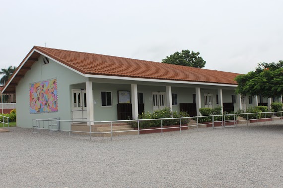
School nearby National Commision on Culture, CYCC
Ghana
School nearby National Commision on Culture, CYCC
National Commision on Culture, CYCC
Accra, Ghana
contacts phone
:
+233 24 686 6864
Latitude:
5.5929193
, Longitude:
-0.186731
larger map & directions
read more
nearest School
353 m
Military Hospital Basic School
Ayawaso
School
read more
549 m
Ghana School of Survey and Mapping (GSSM)
Accra
School
read more
563 m
Ghana Survey School
Ayawaso
School
read more
593 m
United Faith School
Accra
School
read more
628 m
Alwaleed Comprehensive Basic School
Hilla Limann Highway, Accra
School
read more
668 m
Islamic Training Institute
Hilla Limann Highway, Accra
School
read more
683 m
God's Will Special School
Nima,Accra
School
read more
825 m
Accra Girl's Senior High School
Nima Road, Accra
School
read more
882 m
37 Nmtc
Accra
School
read more
912 m
zurak Masjid
Accra
School
read more
957 m
Jame3 Shi3i
165 Nima Road, Accra
School
read more
1000 m
Creative Writing Academy
16 Old Achimota Road Accra Ghana
School
read more
1.048 km
Little Treasure Montessori School
Accra
School
read more
1.051 km
Dzigbordis School
Tumu Avenue, Accra
School
read more
1.067 km
Kanda International School
Ayawaso East Sub Metro, Accra
School
read more
1.135 km
Airport Police Primary J.S.S School
Liberation Crescent, Accra
School
read more
1.201 km
Cape Coast Univ
19 Patrice Lumumba Road, Accra
School
read more
1.201 km
Glorious Kids School
HSE 3 4th Ave,greda estate,teshie adjorman, Accra
School
read more
1.241 km
Roman Ridge School
Ridge Road, Accra
School
read more
1.588 km
School of Catering
Maamobi, Accra
School
read more
1.671 km
Welcome To School
Abavana Street, Accra
School
read more
1.702 km
Horizon Building
Liberation Road, Accra
School
read more
2.094 km
Association International School
6 Patrice Lumumba Road, Airport Residential Area, Accra
School
read more
2.183 km
St.Paul's Lutheran School
Kanda Avenue, Accra
School
read more
2.39 km
Joy Kids School
2nd Odotei Tsui Street, Accra
School
read more
📑
all categories
Accounting
Administrative area level 1
Administrative area level 2
Airport
Amusement park
Aquarium
Art gallery
Atm
Bakery
Bank
Bar
Beauty salon
Bicycle store
Book store
Bus station
Cafe
Campground
Car dealer
Car rental
Car repair
Car wash
Casino
Cemetery
Church
City hall
Clothing store
Colloquial area
Convenience store
Courthouse
Dentist
Department store
Doctor
Electrician
Electronics store
Embassy
Finance
Fire station
Florist
Food
Funeral home
Furniture store
Gas station
General contractor
Grocery or supermarket
Gym
Hair care
Hardware store
Health
Hindu Temple
Home goods store
Hospital
Insurance agency
Intersection
Jewelry store
Laundry
Lawyer
Library
Liquor store
Local government office
Locality
Locksmith
Lodging
Meal delivery
Meal takeaway
Mosque
Movie rental
Movie theater
Moving company
Museum
Natural feature
Neighborhood
Night club
Painter
Park
Parking
Pet store
Pharmacy
Physiotherapist
Place of worship
Plumber
Point of interest
Police
Post office
Premise
Real estate agency
Restaurant
Roofing contractor
Route
Rv park, camping
School
Shoe store
Shopping mall
Spa
Stadium
Storage
Store
Subpremise
Subway station
Supermarket
Synagogue
Taxi stand
Train station
Transit station
Travel agency
University
Veterinary care
Zoo
sublocality level 1
↑