School nearby Wisdom Ways Academy
Ghana
School nearby Wisdom Ways Academy
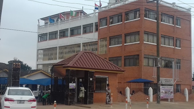
Wisdom Ways Academy
Ga East, Ghana
contacts phone
:
+233
Latitude:
5.6851131
, Longitude:
-0.209622
larger map & directions
read more
nearest School
397 m
Angels kiddy centre
Ghana
School
read more
583 m
Academic City
Haatso, Accra
School
read more
630 m
Power praise chapel
Ghana
School
read more
941 m
Unique Child Academy
Agbogba
School
read more
1.033 km
Gloryland School
Agbogba
School
read more
1.068 km
St. Anglican JSS
Ghana
School
read more
1.094 km
SkillGator International
North Legon
School
read more
1.212 km
Olive Shoots Academy
School
read more
1.229 km
OD Institute, Ghana
17, Abuakwa Lane, Accra
School
read more
1.315 km
Sandy School & Sandra Chapel
Ghana
School
read more
1.322 km
Sandy School
Ghana
School
read more
1.452 km
Agbogba JSS
Ghana
School
read more
1.489 km
Unique Child Academy
North Legon
School
read more
1.525 km
G-best Excellence Academy (New Ashongman.)
School
read more
1.641 km
North Legon Sch Complex
Agbogba
School
read more
1.685 km
Precious Jewels International School
Haatso
School
read more
1.71 km
Ancilla Primary and Junior High School (Haatso)
Haatso
School
read more
1.877 km
Calvary Presby Church
Haatso
School
read more
1.945 km
Eunicharles International School
School
read more
1.963 km
Myredeve Little College (Agbogba)
Agbogba - Ashongman Road, Accra
School
read more
2.292 km
Manieson Christian Academy
Haatso
School
read more
2.344 km
Oheneba First Step Learning Center
416 Agbogba - Ashongman Road, Agbogba
School
read more
2.406 km
Duke Williams Ltd - Haatso Office
Haatso-Atomic Road, Haatso
School
read more
2.417 km
Cherith School
Haatso
School
read more
2.459 km
Ebenezar Nursery School
University Of Ghana, Accra
School
read more
📑
all categories
Accounting
Administrative area level 1
Administrative area level 2
Airport
Amusement park
Aquarium
Art gallery
Atm
Bakery
Bank
Bar
Beauty salon
Bicycle store
Book store
Bus station
Cafe
Campground
Car dealer
Car rental
Car repair
Car wash
Casino
Cemetery
Church
City hall
Clothing store
Colloquial area
Convenience store
Courthouse
Dentist
Department store
Doctor
Electrician
Electronics store
Embassy
Finance
Fire station
Florist
Food
Funeral home
Furniture store
Gas station
General contractor
Grocery or supermarket
Gym
Hair care
Hardware store
Health
Hindu Temple
Home goods store
Hospital
Insurance agency
Intersection
Jewelry store
Laundry
Lawyer
Library
Liquor store
Local government office
Locality
Locksmith
Lodging
Meal delivery
Meal takeaway
Mosque
Movie rental
Movie theater
Moving company
Museum
Natural feature
Neighborhood
Night club
Painter
Park
Parking
Pet store
Pharmacy
Physiotherapist
Place of worship
Plumber
Point of interest
Police
Post office
Premise
Real estate agency
Restaurant
Roofing contractor
Route
Rv park, camping
School
Shoe store
Shopping mall
Spa
Stadium
Storage
Store
Subpremise
Subway station
Supermarket
Synagogue
Taxi stand
Train station
Transit station
Travel agency
University
Veterinary care
Zoo
sublocality level 1
↑