Store nearby Jey Phones
Ghana
Store nearby Jey Phones
Jey Phones
Buade Road, Accra Ghana
contacts phone
:
+233
Latitude:
5.6069197
, Longitude:
-0.0774342
read more
nearest Store
33 m
Accra Deaml Mac Beach
Nungua Main Road, Tema
Store
read more
84 m
Nyame Na Ay & Phones & Accessories
Maritime Academy Road, Accra
Store
read more
348 m
Point 5 Soundz
Accra
Store
read more
474 m
Phone Boy Enterprise
Ghana
Store
read more
675 m
Anpaul BookShop & Stationery
Accra
Store
read more
680 m
K.A. Phones & Accessories
Ghana
Store
read more
708 m
Just Vision Ent.
Ghana
Store
read more
716 m
PJ's World of Cool
Accra
Store
read more
949 m
T.M Lewin
Accra
Store
read more
955 m
TECNO Mobile
Accra
Store
read more
963 m
ASHFOAM
Accra
Store
read more
997 m
Nella Effects Cosmetics Bar
Accra
Store
read more
1.117 km
Escoba 1 Ventures
Accra
Store
read more
1.178 km
Tropical Phones
Ghana
Store
read more
1.225 km
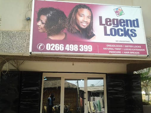
Legend Locks Nungua
Accra
Store
read more
1.398 km
Griddle Kitchen
10th Avenue, Accra
Store
read more
1.725 km
Deget Enterprise
Accra
Store
read more
1.847 km
Sethcalth Roofing
Accra
Store
read more
1.848 km
Phone Repair
Ghana
Store
read more
1.855 km
A Herbal And Natural Health Center
Sakumono
Store
read more
1.901 km
Asipem Phones
Ghana
Store
read more
2.172 km
Kaysens Gas Filling Station
Sakumono
Store
read more
2.388 km
Etihad Game Center
Sakumono Estate, Sakumono
Store
read more
2.414 km
Baker's Oven Bakery
Accra
Store
read more
2.522 km
Buedah Collection
Sakumono Estates, Tema
Store
read more
📑
all categories
Accounting
Administrative area level 1
Administrative area level 2
Airport
Amusement park
Aquarium
Art gallery
Atm
Bakery
Bank
Bar
Beauty salon
Bicycle store
Book store
Bus station
Cafe
Campground
Car dealer
Car rental
Car repair
Car wash
Casino
Cemetery
Church
City hall
Clothing store
Colloquial area
Convenience store
Courthouse
Dentist
Department store
Doctor
Electrician
Electronics store
Embassy
Finance
Fire station
Florist
Food
Funeral home
Furniture store
Gas station
General contractor
Grocery or supermarket
Gym
Hair care
Hardware store
Health
Hindu Temple
Home goods store
Hospital
Insurance agency
Intersection
Jewelry store
Laundry
Lawyer
Library
Liquor store
Local government office
Locality
Locksmith
Lodging
Meal delivery
Meal takeaway
Mosque
Movie rental
Movie theater
Moving company
Museum
Natural feature
Neighborhood
Night club
Painter
Park
Parking
Pet store
Pharmacy
Physiotherapist
Place of worship
Plumber
Point of interest
Police
Post office
Premise
Real estate agency
Restaurant
Roofing contractor
Route
Rv park, camping
School
Shoe store
Shopping mall
Spa
Stadium
Storage
Store
Subpremise
Subway station
Supermarket
Synagogue
Taxi stand
Train station
Transit station
Travel agency
University
Veterinary care
Zoo
sublocality level 1
↑