places in Suhum
Ghana
Suhum
Suhum
Administrative Region:
Eastern Region
population:
49 398
calling code:
+233-34
postcode:
ESXXX
Location on the map of Ghana
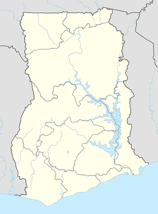
Suhum
Administrative area level 2
Suhum/Kraboa/Coaltar
Ghana
Administrative area level 2
read more
East Akim
Ghana
Administrative area level 2
read more
Hospital
Providence Medical Centre
Suhum
Hospital
read more
Suhum Children's Hospital
Suhum-Koforidua road, Suhum
Hospital
read more
Suhum Government Hospital
Suhum
Hospital
read more
Point of interest
Nana Odame Carpentry Services And Show Room
Suhum-Koforidua Road, Suhum
Point of interest
read more
Diamond Cement House
Suhum-Koforidua Road, Suhum
Point of interest
read more
Royal Queens Parlace
Ghana
Point of interest
read more
Center Spot Food Is Ready
Ghana
Point of interest
read more
Suhum Vocational/Technical Institute (SUVOTECH)
Suhum
Point of interest
read more
Main Administration Block
Suhum
Point of interest
read more
Bisa Nyame Poultry Feed
Suhum-Koforidua Road, Suhum
Point of interest
read more
Josephsco Ventures
Ghana
Point of interest
read more
Chenco Linco Ent.
Ghana
Point of interest
read more
ECG
Suhum-Koforidua road, Suhum
Point of interest
read more
Bradez Bradez
Ghana
Point of interest
read more
Gee Man Venture's
Ghana
Point of interest
read more
Sethoo Electricals
Ghana
Point of interest
read more
Agyei Speaker Winding Shop
Suhum-Koforidua Road, Suhum
Point of interest
read more
WAEC Online Registration
Ghana
Point of interest
read more
Post office
Suhum Post Office
Suhum
Post office
read more
Bank
First Allied Bank
Suhum
Bank
read more
National Banking Collage
Accra - Kumasi Road, Nkawkaw
Bank
read more
Ghana Commercial Bank
Suhum
Bank
read more
EVERGREEN MICROFINANCE LIMITED
Unnamed Road, Suhum
Bank
read more
South Akim Rural Bank
Suhum
Bank
read more
ADB - SUHUM.
Suhum
Bank
read more
GN BANK SUHUM
Suhum
Bank
read more
Upper Manya Kro Rural Bank Ltd. Suhum Branch
Ghana
Bank
read more
Akyemmansa Rural Bank Ltd. Suhum Agency
2 Nsawam - Suhum Road, Suhum
Bank
read more
📑
Suhum all categories
Administrative area level 2
Bank
Bar
Bus station
Church
Clothing store
Doctor
Electronics store
Finance
Gas station
Grocery or supermarket
Health
Hospital
Local government office
Locality
Lodging
Natural feature
Park
Pharmacy
Place of worship
Point of interest
Police
Post office
Premise
Restaurant
Route
School
Shopping mall
Store
↑