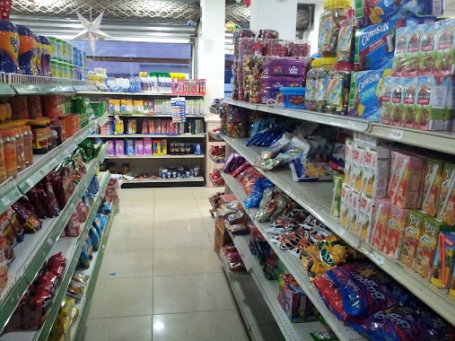
Supermarket nearby Health Plaza
Ghana
Supermarket nearby Health Plaza
Health Plaza
A1, Lovely Tanker Yard Ghana
contacts phone
:
+233
Latitude:
5.6923053
, Longitude:
0.0239167
read more
nearest Supermarket
3.508 km
Comm.25 Supermarket
Tema
Supermarket
read more
3.705 km
Adom Stores
Unnamed Rd,, Tema
Supermarket
read more
4.78 km
Prestige Commodities
Cemetry Road, Kpone-Tema
Supermarket
read more
4.812 km
Criss PHARMACY
Prono Street, Tema
Supermarket
read more
4.917 km
Senes Pharmacy Ltd
Tema
Supermarket
read more
5.134 km
HS Home Supermarket
Tema
Supermarket
read more
5.247 km
Buzz-Rite Mart
Tema
Supermarket
read more
5.407 km
Evergreen Supermarket
Tema
Supermarket
read more
5.6 km
Perry-N-Penny's
Tema
Supermarket
read more
5.649 km
Total Mart
Hospital Road
Supermarket
read more
5.928 km
Junction Mall Shoprite
Greenwich Meridian Road, Tema
Supermarket
read more
5.988 km
Urimie Company Ltd(Supermarket ) OSAIOKPOTE STREET
Tema
Supermarket
read more
10.717 km
Sibana Store
Supermarket
read more
11.807 km
Biggies Shop
Sakumono
Supermarket
read more
12.011 km
NN Ventures
Tema
Supermarket
read more
12.345 km
The fortunate one
Tema
Supermarket
read more
12.641 km
A Mart
Tema
Supermarket
read more
13.528 km
Andypat Family Shop
Accra
Supermarket
read more
13.755 km
Shoprite The Junction
Junction Shopping Mall, 3 Emmause 2nd Close, Labone, Accra
Supermarket
read more
13.922 km
Citydia SoroMall
Spintex Road, Accra
Supermarket
read more
14.755 km
Manet Cottage Estates
Ghana
Supermarket
read more
14.953 km
WALI CO LTD
Accra
Supermarket
read more
16.209 km
Freedom Supermarket
7th Avenue, Accra
Supermarket
read more
16.884 km
Tsebi's Place
7th fertilizer lane, teshie nungua estates, Accra
Supermarket
read more
19.346 km
Linaks House
Teshie Road, Accra
Supermarket
read more
📑
all categories
Accounting
Administrative area level 1
Administrative area level 2
Airport
Amusement park
Aquarium
Art gallery
Atm
Bakery
Bank
Bar
Beauty salon
Bicycle store
Book store
Bus station
Cafe
Campground
Car dealer
Car rental
Car repair
Car wash
Casino
Cemetery
Church
City hall
Clothing store
Colloquial area
Convenience store
Courthouse
Dentist
Department store
Doctor
Electrician
Electronics store
Embassy
Finance
Fire station
Florist
Food
Funeral home
Furniture store
Gas station
General contractor
Grocery or supermarket
Gym
Hair care
Hardware store
Health
Hindu Temple
Home goods store
Hospital
Insurance agency
Intersection
Jewelry store
Laundry
Lawyer
Library
Liquor store
Local government office
Locality
Locksmith
Lodging
Meal delivery
Meal takeaway
Mosque
Movie rental
Movie theater
Moving company
Museum
Natural feature
Neighborhood
Night club
Painter
Park
Parking
Pet store
Pharmacy
Physiotherapist
Place of worship
Plumber
Point of interest
Police
Post office
Premise
Real estate agency
Restaurant
Roofing contractor
Route
Rv park, camping
School
Shoe store
Shopping mall
Spa
Stadium
Storage
Store
Subpremise
Subway station
Supermarket
Synagogue
Taxi stand
Train station
Transit station
Travel agency
University
Veterinary care
Zoo
sublocality level 1
↑