Church nearby Royal Victory Family Church
Ghana
Church nearby Royal Victory Family Church
Royal Victory Family Church
Kwabenya Ghana
contacts phone
:
+233
Latitude:
5.688796
, Longitude:
-0.2513233
read more
nearest Church
262 m
FaithWalk Outreach Ministry
Kwabenya-Pokuase Road, Kwabenya
Church
read more
356 m
ICGC Acts Temple
Kwabenya
Church
read more
397 m
Calvary Deliverance Ministry Int.
Kwabenya-Pokuase Road, Kwabenya
Church
read more
484 m
The Apostolic Church Ghana
Kwabenya
Church
read more
531 m
Grace Methodist Society
Kwabenya
Church
read more
554 m
St John Anglican Church Kwabenya
kwabenya ajimakata mountain
Church
read more
554 m
ICGC Acts Temple - New Building
Pokuase Road, Kwabenya
Church
read more
570 m
Church Of Christ
Kwabenya
Church
read more
639 m
African Faith Terbanacle Church
Kwabenya
Church
read more
668 m
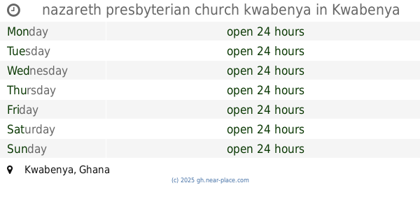
nazareth presbyterian church kwabenya
Kwabenya
Church
read more
741 m
Kwabenya SDA Church
Kwabenya
Church
read more
777 m
Mega Blessing Chaple Int
Kwabenya
Church
read more
803 m
Family Outreach Ministries International (FOMI)
Kwabenya
Church
read more
1.022 km
Presbyterian Church of Ghana, Salem Congregation
Kwabenya
Church
read more
1.04 km
The Son Of God Is Risen High Prayer Ministry
Kwabenya
Church
read more
1.237 km
Taifa North SDA Church
Kwabenya
Church
read more
1.506 km
The Church Of Pentecost - Point One Assembly
Kwabenya
Church
read more
1.614 km
METHODIST CHURCH,TRINITY SOCIETY. TAIFA
Kwabenya
Church
read more
1.631 km
Kingdom Hall of Jehovahs Witnesses, Ashongman Estate
Ghana
Church
read more
1.699 km
Apostolic Church
ACP
Church
read more
1.728 km
TMH
Saint Johns - Dome - Kwabenya - Brekusu Road, Kwabenya
Church
read more
1.946 km
St. Dominic Catholic Church
Kwabenya
Church
read more
1.964 km
The Lords Garden Ministries
Atomic Hills Estate Street, Kwabenya
Church
read more
2.023 km
Atomic Hills United Church
Church
read more
2.045 km
I.C.G.C. House of Refuge
Ghana
Church
read more
📑
all categories
Accounting
Administrative area level 1
Administrative area level 2
Airport
Amusement park
Aquarium
Art gallery
Atm
Bakery
Bank
Bar
Beauty salon
Bicycle store
Book store
Bus station
Cafe
Campground
Car dealer
Car rental
Car repair
Car wash
Casino
Cemetery
Church
City hall
Clothing store
Colloquial area
Convenience store
Courthouse
Dentist
Department store
Doctor
Electrician
Electronics store
Embassy
Finance
Fire station
Florist
Food
Funeral home
Furniture store
Gas station
General contractor
Grocery or supermarket
Gym
Hair care
Hardware store
Health
Hindu Temple
Home goods store
Hospital
Insurance agency
Intersection
Jewelry store
Laundry
Lawyer
Library
Liquor store
Local government office
Locality
Locksmith
Lodging
Meal delivery
Meal takeaway
Mosque
Movie rental
Movie theater
Moving company
Museum
Natural feature
Neighborhood
Night club
Painter
Park
Parking
Pet store
Pharmacy
Physiotherapist
Place of worship
Plumber
Point of interest
Police
Post office
Premise
Real estate agency
Restaurant
Roofing contractor
Route
Rv park, camping
School
Shoe store
Shopping mall
Spa
Stadium
Storage
Store
Subpremise
Subway station
Supermarket
Synagogue
Taxi stand
Train station
Transit station
Travel agency
University
Veterinary care
Zoo
sublocality level 1
↑