Lodging nearby ILGS Hostel
Ghana
Lodging nearby ILGS Hostel
ILGS Hostel
Madina, Ghana
contacts phone
:
+233
Latitude:
5.6641039
, Longitude:
-0.154105
larger map & directions
read more
nearest Lodging
306 m
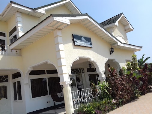
Relaxation and comfort
South Boundry Road 186a, Madina
Lodging
read more
307 m
Executive 5 Bedroom House At East Legon
40 Boundary Road, Accra
Lodging
read more
456 m
Bergmann Hostel
Madina
Lodging
read more
472 m
WhiteWall, Maple Court
Accra
Lodging
read more
484 m
The Nest Guest home
Madina
Lodging
read more
500 m
Pilma hotel
Madina
Lodging
read more
515 m
Imperial Guest House
Madina
Lodging
read more
521 m
Pink Panther Hotel
Hse No 80-8 Adenta, Adenta
Lodging
read more
540 m
Ruby Kay HOTEL
Accra
Lodging
read more
545 m
Cheros Villa
63 Boundary Road, Madina
Lodging
read more
715 m
Pekan Hotel
Nii Torgbor Avenue, Accra
Lodging
read more
735 m
Kingsbridge Royale Hotel
ARS Road,, Accra
Lodging
read more
864 m
Savita Lodge
Ogbodjo
Lodging
read more
874 m
Skyline Guest House
Madina
Lodging
read more
875 m
Skyline hotel
Madina
Lodging
read more
912 m
Akapulko Guest House
U.P.S Road Opposite Accra College Of Education, Madina
Lodging
read more
958 m
Ultimate Hotel
New Bortianor, Weija, Accra
Lodging
read more
1.054 km
Original MB3 Hostel
Madina
Lodging
read more
1.379 km
La Community Bank
Madina
Lodging
read more
1.391 km
AH Hotel and conference
84/86 1st boundary Road, American House,East Legon East Legon
Lodging
read more
1.403 km
Goodwill Plaza Hostel
Accra
Lodging
read more
1.828 km
Adasa Royal Hotels Ltd.
Nii Kakwaranya Road, Accra
Lodging
read more
1.949 km
Near Ideal College Int. School
East Legon, H/N 141 mempeasem, Accra
Lodging
read more
2.027 km
Reign Quarters
Accra
Lodging
read more
2.031 km
Abrewa-2 Bedroom Apartment, Dzorwulu
62 Boundary Road, Accra
Lodging
read more
📑
all categories
Accounting
Administrative area level 1
Administrative area level 2
Airport
Amusement park
Aquarium
Art gallery
Atm
Bakery
Bank
Bar
Beauty salon
Bicycle store
Book store
Bus station
Cafe
Campground
Car dealer
Car rental
Car repair
Car wash
Casino
Cemetery
Church
City hall
Clothing store
Colloquial area
Convenience store
Courthouse
Dentist
Department store
Doctor
Electrician
Electronics store
Embassy
Finance
Fire station
Florist
Food
Funeral home
Furniture store
Gas station
General contractor
Grocery or supermarket
Gym
Hair care
Hardware store
Health
Hindu Temple
Home goods store
Hospital
Insurance agency
Intersection
Jewelry store
Laundry
Lawyer
Library
Liquor store
Local government office
Locality
Locksmith
Lodging
Meal delivery
Meal takeaway
Mosque
Movie rental
Movie theater
Moving company
Museum
Natural feature
Neighborhood
Night club
Painter
Park
Parking
Pet store
Pharmacy
Physiotherapist
Place of worship
Plumber
Point of interest
Police
Post office
Premise
Real estate agency
Restaurant
Roofing contractor
Route
Rv park, camping
School
Shoe store
Shopping mall
Spa
Stadium
Storage
Store
Subpremise
Subway station
Supermarket
Synagogue
Taxi stand
Train station
Transit station
Travel agency
University
Veterinary care
Zoo
sublocality level 1
↑