Lodging nearby Merciful Hotel Annex
Ghana
Lodging nearby Merciful Hotel Annex
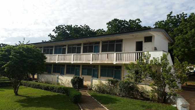
Merciful Hotel Annex
Paradise Street, Accra, Accra Metropolis, GH Ghana
contacts phone
:
+233 50 333 1531
Latitude:
5.5977046
, Longitude:
-0.2139189
larger map & directions
read more
nearest Lodging
83 m
Main Merciful Hotel Nana Gyebi
Alajo, Accra
Lodging
read more
338 m
Standard Lodge Hotel
Alajo, Accra
Lodging
read more
578 m
Sparks Hotel
Abelenkpe
Lodging
read more
710 m
Queen Victoria
6th Asafoatse Mankata Link, Accra
Lodging
read more
734 m
Commordor's
Onyankle Street, Accra
Lodging
read more
749 m
Rayporsh Hotel
Abelenkpe, Accra
Lodging
read more
825 m
Carpenter Fire's Place
Accra
Lodging
read more
883 m
Queens Link Hostel
Accra
Lodging
read more
889 m
Mainland Hotel
Accra
Lodging
read more
954 m
Narpo Hotels
Nsawam Road, Near Mile 7 Police Station Achimota, Accra
Lodging
read more
955 m
Henry Djaba House
Accra
Lodging
read more
1.022 km
GTUC Hostel Block C
Accra
Lodging
read more
1.035 km
Hibiscus Guest House
Manhean Loop Road, Accra
Lodging
read more
1.045 km
Sidi Star Guest House
30 Ninth Road, Accra
Lodging
read more
1.184 km
Power Plaza Hostel
Kotababi near the Police Station, Accra
Lodging
read more
1.187 km
Penwood Hotel
13th Close, Accra
Lodging
read more
1.346 km
Hotel Zeus
Nsawam Road, Accra
Lodging
read more
1.484 km
GTUC International Students'Hostel
Tesano, Accra
Lodging
read more
1.665 km
New Town Hostel
Accra
Lodging
read more
1.718 km
Apaade Lodge
Seventh Road, Accra
Lodging
read more
1.813 km
Naa Akuyea Lodge
Market Close, Accra
Lodging
read more
1.872 km
Vitara Hotel
New Town Road, Accra
Lodging
read more
1.966 km
Imperial Lodge
Sir Emmanuel Quist Street, Accra
Lodging
read more
2.201 km
Ayinka Villa
1st Tettehkwel Street, Accra
Lodging
read more
2.346 km
Essland Hotel
19 Osu Badu Street, Accra
Lodging
read more
📑
all categories
Accounting
Administrative area level 1
Administrative area level 2
Airport
Amusement park
Aquarium
Art gallery
Atm
Bakery
Bank
Bar
Beauty salon
Bicycle store
Book store
Bus station
Cafe
Campground
Car dealer
Car rental
Car repair
Car wash
Casino
Cemetery
Church
City hall
Clothing store
Colloquial area
Convenience store
Courthouse
Dentist
Department store
Doctor
Electrician
Electronics store
Embassy
Finance
Fire station
Florist
Food
Funeral home
Furniture store
Gas station
General contractor
Grocery or supermarket
Gym
Hair care
Hardware store
Health
Hindu Temple
Home goods store
Hospital
Insurance agency
Intersection
Jewelry store
Laundry
Lawyer
Library
Liquor store
Local government office
Locality
Locksmith
Lodging
Meal delivery
Meal takeaway
Mosque
Movie rental
Movie theater
Moving company
Museum
Natural feature
Neighborhood
Night club
Painter
Park
Parking
Pet store
Pharmacy
Physiotherapist
Place of worship
Plumber
Point of interest
Police
Post office
Premise
Real estate agency
Restaurant
Roofing contractor
Route
Rv park, camping
School
Shoe store
Shopping mall
Spa
Stadium
Storage
Store
Subpremise
Subway station
Supermarket
Synagogue
Taxi stand
Train station
Transit station
Travel agency
University
Veterinary care
Zoo
sublocality level 1
↑