School nearby Apenkwa Presbyterian Junior High School
Ghana
School nearby Apenkwa Presbyterian Junior High School
Apenkwa Presbyterian Junior High School
Accra Ghana
contacts phone
:
+233
Latitude:
5.6090382
, Longitude:
-0.2298161
read more
nearest School
18 m
Shiayennoh Junior High School
Accra
School
read more
91 m
Apenkwa Shool Foot Ball Parc
Tesano, Accra
School
read more
160 m
Apenkwa Presbyterian Basic School
Accra
School
read more
463 m
Mizpah International School
Ninth Road, Accra
School
read more
568 m
The Pastorpreneurship Global Institute
West Africa
School
read more
626 m
Mount Horeb Prep/JHS
Abofu Park, Accra, Greater Accra
School
read more
629 m
Sunny Hills Academy
Achimota Preparatory school, Achimota
School
read more
651 m
Achimota Market
Achimota
School
read more
739 m
Zenith School
Akweteyman
School
read more
854 m
Little Saints School
Accra
School
read more
858 m
Firm Foundation Academy
mantse man
School
read more
866 m
Joyful Home Academy
Pinto Road, Accra
School
read more
876 m
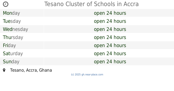
Tesano Cluster of Schools
Tesano, Accra
School
read more
903 m
Rev. William Vernon Ofori Memorial School
Accra
School
read more
927 m
Fun N Learn School
Near Lake Side Clinic, Feo Eyeo Road, Accra
School
read more
944 m
St.Georges Creche, Nursery and Preparatory school
Accra
School
read more
963 m
Grace and Glory Preparatory School
Ghana
School
read more
1.004 km
St.John's Barlingua Preparatory School
Ghana
School
read more
1.044 km
Living God Preparatory School
Akweteyman
School
read more
1.057 km
Willow Tree Children's Centre
Accra
School
read more
1.111 km
Asiamah Memorial School
Akweteyman
School
read more
1.189 km
Bolinas Academy
Accra
School
read more
1.371 km
Falcot Junction
134/24 Abeka Road, Accra
School
read more
1.484 km
Destiny Child School
Achimota
School
read more
2.16 km
Ghana Technology University College C15
Nsawam Road, Accra
School
read more
📑
all categories
Accounting
Administrative area level 1
Administrative area level 2
Airport
Amusement park
Aquarium
Art gallery
Atm
Bakery
Bank
Bar
Beauty salon
Bicycle store
Book store
Bus station
Cafe
Campground
Car dealer
Car rental
Car repair
Car wash
Casino
Cemetery
Church
City hall
Clothing store
Colloquial area
Convenience store
Courthouse
Dentist
Department store
Doctor
Electrician
Electronics store
Embassy
Finance
Fire station
Florist
Food
Funeral home
Furniture store
Gas station
General contractor
Grocery or supermarket
Gym
Hair care
Hardware store
Health
Hindu Temple
Home goods store
Hospital
Insurance agency
Intersection
Jewelry store
Laundry
Lawyer
Library
Liquor store
Local government office
Locality
Locksmith
Lodging
Meal delivery
Meal takeaway
Mosque
Movie rental
Movie theater
Moving company
Museum
Natural feature
Neighborhood
Night club
Painter
Park
Parking
Pet store
Pharmacy
Physiotherapist
Place of worship
Plumber
Point of interest
Police
Post office
Premise
Real estate agency
Restaurant
Roofing contractor
Route
Rv park, camping
School
Shoe store
Shopping mall
Spa
Stadium
Storage
Store
Subpremise
Subway station
Supermarket
Synagogue
Taxi stand
Train station
Transit station
Travel agency
University
Veterinary care
Zoo
sublocality level 1
↑