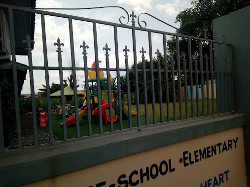
School nearby Delcam College
Ghana
School nearby Delcam College
Delcam College
Adenta Barrier Ghana
contacts phone
:
+233
Latitude:
5.706608
, Longitude:
-0.1701624
read more
nearest School
177 m
Browns Int. School Of Excellence
Agbawe Close Adenta, Barrier, Agbawe Avenue, Adenta Municipality
School
read more
216 m
NSS Adentan Municipal Secretarial
Ghana
School
read more
375 m
West Afican Senior High School
Ghana
School
read more
406 m
West Africa Senior High School Gate
Ghana
School
read more
514 m
Golden Gate International School
Adenta Municipality
School
read more
519 m
Strandz Beauty College
Adenta Municipality
School
read more
578 m
Honey Pot Early Childhood Center
18 Adom street
School
read more
624 m
Honeypot Crèche & Pre-School
18 Adom street
School
read more
641 m
The Flobar School
Adenta Municipality
School
read more
649 m
Southland College (Chloe's Campus)
Ghana
School
read more
729 m
Matibless Academy
Unnamed Rd,, Madina
School
read more
865 m
Phil Early Childhood Centre
Ghana
School
read more
889 m
PHIL ACADEMY
Ghana
School
read more
890 m
Phil Creche
Ghana
School
read more
970 m
Seven Stars International Academy
N4, Adenta Municipality, Ghana, Adenta Municipality
School
read more
1.027 km
Kaf Int. School
Adenta Municipality
School
read more
1.028 km
Holy Rosary R/C Basic School
Ghana
School
read more
1.041 km
Little Pumpkins Montessori
Adenta Municipality
School
read more
1.082 km
Wass Primary
School
read more
1.108 km
Nadat School
School
read more
1.294 km
Kevboat Pre-School
Nii Kodia Road
School
read more
1.467 km
Maribea Kids School
House No. 12, Kristo Asafo Area, Adenta, Accra, Nyanyo Street
School
read more
1.545 km
The Light Academy, Adenta
Okpoti Street
School
read more
1.844 km
Tuskegee International School Ghana
Adenta Municipality
School
read more
1.988 km
Ebenezer Mission Academy
Ghana
School
read more
📑
all categories
Accounting
Administrative area level 1
Administrative area level 2
Airport
Amusement park
Aquarium
Art gallery
Atm
Bakery
Bank
Bar
Beauty salon
Bicycle store
Book store
Bus station
Cafe
Campground
Car dealer
Car rental
Car repair
Car wash
Casino
Cemetery
Church
City hall
Clothing store
Colloquial area
Convenience store
Courthouse
Dentist
Department store
Doctor
Electrician
Electronics store
Embassy
Finance
Fire station
Florist
Food
Funeral home
Furniture store
Gas station
General contractor
Grocery or supermarket
Gym
Hair care
Hardware store
Health
Hindu Temple
Home goods store
Hospital
Insurance agency
Intersection
Jewelry store
Laundry
Lawyer
Library
Liquor store
Local government office
Locality
Locksmith
Lodging
Meal delivery
Meal takeaway
Mosque
Movie rental
Movie theater
Moving company
Museum
Natural feature
Neighborhood
Night club
Painter
Park
Parking
Pet store
Pharmacy
Physiotherapist
Place of worship
Plumber
Point of interest
Police
Post office
Premise
Real estate agency
Restaurant
Roofing contractor
Route
Rv park, camping
School
Shoe store
Shopping mall
Spa
Stadium
Storage
Store
Subpremise
Subway station
Supermarket
Synagogue
Taxi stand
Train station
Transit station
Travel agency
University
Veterinary care
Zoo
sublocality level 1
↑