School nearby Kaf Int. School
Ghana
School nearby Kaf Int. School
Kaf Int. School
Adenta Municipality, Ghana
contacts phone
:
+233 55 483 1670
Latitude:
5.7155755
, Longitude:
-0.1723789
larger map & directions
read more
nearest School
264 m
Seven Stars International Academy
N4, Adenta Municipality, Ghana, Adenta Municipality
School
read more
288 m
ohemaa basic academy
Shalom Junction Road, Adenta Municipality
School
read more
569 m
Golden Gate International School
Adenta Municipality
School
read more
593 m
Strandz Beauty College
Adenta Municipality
School
read more
608 m
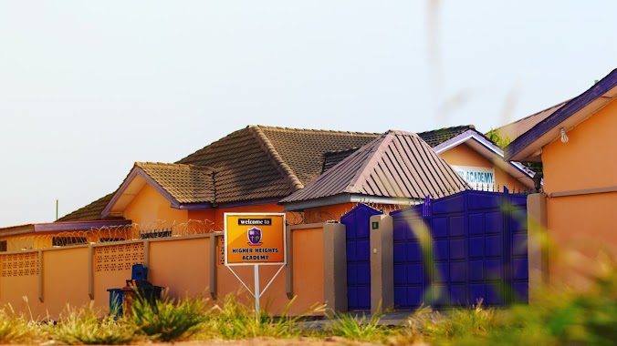
Higher Heights Academy (Nursery & Lower Primary)
Adenta Municipality
School
read more
611 m
Little Pumpkins Montessori
Adenta Municipality
School
read more
636 m
Abundant Life Academy
Shalom Estates, Adenta Municipality
School
read more
750 m
Higher Height Academy School Upper Primary
Adenta Municipality
School
read more
853 m
Tuskegee International School Ghana
Adenta Municipality
School
read more
896 m
Richhagar International School
Pantang Abokobi Road, Adenta Municipality
School
read more
1.027 km
Delcam College
Adenta Barrier
School
read more
1.047 km
Oyarifa School Junction
N4, Adenta Municipality
School
read more
1.108 km
Higher Heights Academy (Upper Primary)
Adenta Municipality
School
read more
1.115 km
The Flobar School
Adenta Municipality
School
read more
1.134 km
Gracefield Montessori School
Unnamed Road
School
read more
1.191 km
Browns Int. School Of Excellence
Agbawe Close Adenta, Barrier, Agbawe Avenue, Adenta Municipality
School
read more
1.323 km
Frafraha Community Senior High School
Adenta Municipality
School
read more
1.439 km
Articulate Kids International School
Adenta Municipality
School
read more
1.573 km
Honey Pot Early Childhood Center
18 Adom street
School
read more
1.767 km
Wass Primary
School
read more
1.857 km
Nadat School
School
read more
1.914 km
Phil Creche
Ghana
School
read more
1.984 km
Kevboat Pre-School
Nii Kodia Road
School
read more
1.994 km
Survive School Complex
Adenta Municipality
School
read more
2.109 km
Agape International Academy
Pantang West
School
read more
📑
all categories
Accounting
Administrative area level 1
Administrative area level 2
Airport
Amusement park
Aquarium
Art gallery
Atm
Bakery
Bank
Bar
Beauty salon
Bicycle store
Book store
Bus station
Cafe
Campground
Car dealer
Car rental
Car repair
Car wash
Casino
Cemetery
Church
City hall
Clothing store
Colloquial area
Convenience store
Courthouse
Dentist
Department store
Doctor
Electrician
Electronics store
Embassy
Finance
Fire station
Florist
Food
Funeral home
Furniture store
Gas station
General contractor
Grocery or supermarket
Gym
Hair care
Hardware store
Health
Hindu Temple
Home goods store
Hospital
Insurance agency
Intersection
Jewelry store
Laundry
Lawyer
Library
Liquor store
Local government office
Locality
Locksmith
Lodging
Meal delivery
Meal takeaway
Mosque
Movie rental
Movie theater
Moving company
Museum
Natural feature
Neighborhood
Night club
Painter
Park
Parking
Pet store
Pharmacy
Physiotherapist
Place of worship
Plumber
Point of interest
Police
Post office
Premise
Real estate agency
Restaurant
Roofing contractor
Route
Rv park, camping
School
Shoe store
Shopping mall
Spa
Stadium
Storage
Store
Subpremise
Subway station
Supermarket
Synagogue
Taxi stand
Train station
Transit station
Travel agency
University
Veterinary care
Zoo
sublocality level 1
↑