School nearby Early Bird School
Ghana
School nearby Early Bird School
Early Bird School
Kwabenya, Ghana
contacts phone
:
+233
website:
www.earlybirdschoolgh.com
Latitude:
5.6773138
, Longitude:
-0.2562593
larger map & directions
read more
nearest School
423 m
Taifa Burkina Central Mosque
Kwabenya
School
read more
461 m
Salvation Preparatory And Junior High School
Kwabenya
School
read more
668 m
St.Ncholas Computer Based School Academy
Taifa Burkina-R O Junction
School
read more
673 m
Prime Rainbow Montessori School
Kwabenya
School
read more
815 m
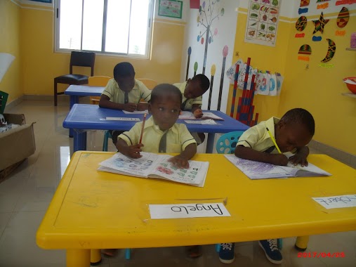
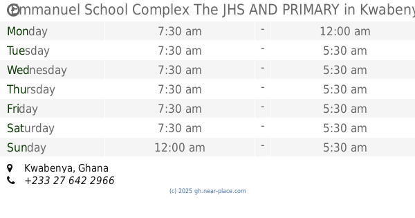
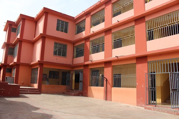
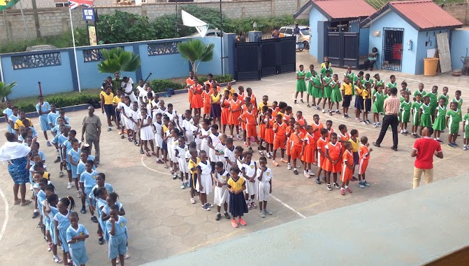
Emmanuel School Complex The JHS AND PRIMARY
Kwabenya
School
read more
827 m
Emmanuel School Complex Taifa
Taifa - Burkina Faso Road, Taifa
School
read more
867 m
Kids Paradise School
Kwabenya
School
read more
963 m
Fair Light International Academy
Kwabenya
School
read more
1.111 km
Great Favour International School
Kwabenya
School
read more
1.119 km
Paragon Foundation Daarul Arqam Academy
Kwabenya-Pokuase Road, Kwabenya
School
read more
1.14 km
Higher Learning Int.school
Taifa Banyase
School
read more
1.166 km
Jancel Christian School
Ga West
School
read more
1.192 km
Grace Methodist School, Kwabenya School Park
Kwabenya
School
read more
1.299 km
Blessed Home Sch And Crech
Kwabenya
School
read more
1.382 km
Sensels School
Taifa
School
read more
1.403 km
White Dove School Complex
Taifa
School
read more
1.426 km
St. Giles Nursery And Conference Center
School
read more
1.439 km
Wards International School. Kwabenya
Kwabenya
School
read more
1.445 km
West Hatch School
Kwabenya
School
read more
1.532 km
Kwabenya Cluster Of Schools
Kwabenya
School
read more
1.546 km
Sambel Academy
Kwabenya
School
read more
1.623 km
Shalom International School
Taifa
School
read more
1.833 km
Rev John Teye Memorial School
Nsawam Road
School
read more
1.919 km
Bright Lilies Early Child Learning Center
Saint Johns - Dome - Kwabenya - Brekusu Road, Taifa
School
read more
2.314 km
Nobles' Montessori
34 Royal Avenue, off Ansu Link
School
read more
📑
all categories
Accounting
Administrative area level 1
Administrative area level 2
Airport
Amusement park
Aquarium
Art gallery
Atm
Bakery
Bank
Bar
Beauty salon
Bicycle store
Book store
Bus station
Cafe
Campground
Car dealer
Car rental
Car repair
Car wash
Casino
Cemetery
Church
City hall
Clothing store
Colloquial area
Convenience store
Courthouse
Dentist
Department store
Doctor
Electrician
Electronics store
Embassy
Finance
Fire station
Florist
Food
Funeral home
Furniture store
Gas station
General contractor
Grocery or supermarket
Gym
Hair care
Hardware store
Health
Hindu Temple
Home goods store
Hospital
Insurance agency
Intersection
Jewelry store
Laundry
Lawyer
Library
Liquor store
Local government office
Locality
Locksmith
Lodging
Meal delivery
Meal takeaway
Mosque
Movie rental
Movie theater
Moving company
Museum
Natural feature
Neighborhood
Night club
Painter
Park
Parking
Pet store
Pharmacy
Physiotherapist
Place of worship
Plumber
Point of interest
Police
Post office
Premise
Real estate agency
Restaurant
Roofing contractor
Route
Rv park, camping
School
Shoe store
Shopping mall
Spa
Stadium
Storage
Store
Subpremise
Subway station
Supermarket
Synagogue
Taxi stand
Train station
Transit station
Travel agency
University
Veterinary care
Zoo
sublocality level 1
↑