Church nearby Legon Interdenominational Church
Ghana
Church nearby Legon Interdenominational Church
Legon Interdenominational Church
University Of Ghana, Accra Ghana
contacts phone
:
+233
Latitude:
5.6555974
, Longitude:
-0.1904798
read more
nearest Church
87 m
St. Thomas Aquinas Catholic Church
Volta Road, Accra
Church
read more
107 m
Christ Anglican Church, University of Ghana
Accra
Church
read more
649 m
LEGON HALL CHAPEL
J. B. Danquah Road, Accra
Church
read more
655 m
Commonwealth Hall Chapel
Accra
Church
read more
1.367 km
Super Market Haatso
Haatso-Atomic Road, Accra
Church
read more
1.369 km
Action Chapel Int - Faith Temple
Jasmine Street, Accra
Church
read more
1.512 km
Miracle Christ Ministry
Legon Staff Village Primary School, Accra
Church
read more
1.57 km
Oasis Of Joy International Fellowship
Haatso
Church
read more
1.608 km
Perfecting Faith Chapel
Haatso-Atomic Road, Haatso
Church
read more
1.64 km
International Christian Leadership Institute (ICLI)
Ghana
Church
read more
1.642 km
Power Praise Chaple
Haatso-Atomic Road, Accra
Church
read more
1.642 km
GLOBAL REVIVAL MINISTRIES (REVIVAL CITY)
Haatso-Atomic Road, Accra
Church
read more
1.833 km
Charismatic Evangelistic Ministry
North Legon
Church
read more
1.996 km
Jehovah's Witness Church
Accra
Church
read more
2.024 km
Legon Baptist Church
Accra
Church
read more
2.031 km
Harris Chapel Baptist Church
Haatso
Church
read more
2.032 km
Legon Seventh-day Adventist Church LESDAC
Accra
Church
read more
2.079 km
Gracefields Chapel
Legon East Road, Accra
Church
read more
2.114 km
Worldwide Beautiful Gate Chapel
Church
read more
2.253 km
Haatso Pentecost Church
Haatso
Church
read more
2.279 km
Shalom PRESBY
Haatso
Church
read more
2.395 km
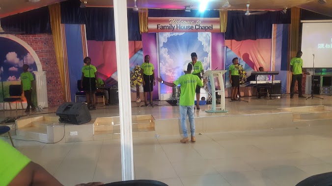
Family House chapel
Ecomog, haatso, Road
Church
read more
2.41 km
Mountain of Fire and Miracles Ministries Regional HQ Ghana
Firestone, Madina
Church
read more
2.546 km
Mary Mother of Good Counsel Church
Ayawaso
Church
read more
2.575 km
Divine Mercy Catholic Church, East Legon
Accra
Church
read more
📑
all categories
Accounting
Administrative area level 1
Administrative area level 2
Airport
Amusement park
Aquarium
Art gallery
Atm
Bakery
Bank
Bar
Beauty salon
Bicycle store
Book store
Bus station
Cafe
Campground
Car dealer
Car rental
Car repair
Car wash
Casino
Cemetery
Church
City hall
Clothing store
Colloquial area
Convenience store
Courthouse
Dentist
Department store
Doctor
Electrician
Electronics store
Embassy
Finance
Fire station
Florist
Food
Funeral home
Furniture store
Gas station
General contractor
Grocery or supermarket
Gym
Hair care
Hardware store
Health
Hindu Temple
Home goods store
Hospital
Insurance agency
Intersection
Jewelry store
Laundry
Lawyer
Library
Liquor store
Local government office
Locality
Locksmith
Lodging
Meal delivery
Meal takeaway
Mosque
Movie rental
Movie theater
Moving company
Museum
Natural feature
Neighborhood
Night club
Painter
Park
Parking
Pet store
Pharmacy
Physiotherapist
Place of worship
Plumber
Point of interest
Police
Post office
Premise
Real estate agency
Restaurant
Roofing contractor
Route
Rv park, camping
School
Shoe store
Shopping mall
Spa
Stadium
Storage
Store
Subpremise
Subway station
Supermarket
Synagogue
Taxi stand
Train station
Transit station
Travel agency
University
Veterinary care
Zoo
sublocality level 1
↑